Distance to Glastonbury, Connecticut

Calculating Your Route
Just a moment while we process your request...
Location Information
-
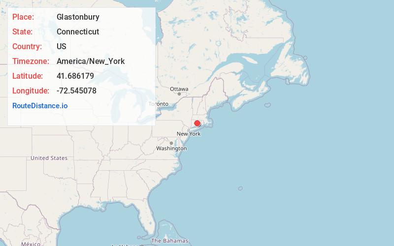
Full AddressGlastonbury, CT
-
Coordinates41.6861794, -72.5450779
-
LocationGlastonbury , Connecticut , US
-
TimezoneAmerica/New_York
-
Current Local Time1:40:56 AM America/New_YorkFriday, June 20, 2025
-
Website
-
Page Views0
About Glastonbury
Glastonbury is a town in the Capitol Planning Region, Connecticut, United States, formally founded in 1693 and first settled in 1636. It was named after Glastonbury in Somerset, England. Glastonbury is on the banks of the Connecticut River, 7 miles southeast of Hartford.


Nearby Places
Found 10 places within 50 miles

Buckingham
2.2 mi
3.5 km
Buckingham, Glastonbury, CT 06033
Get directions

Salmon Brook
3.0 mi
4.8 km
Salmon Brook, Glastonbury, CT 06033
Get directions
South Wethersfield
5.7 mi
9.2 km
South Wethersfield, Wethersfield, CT 06109
Get directions

Wethersfield
6.1 mi
9.8 km
Wethersfield, CT
Get directions

Manchester
6.3 mi
10.1 km
Manchester, CT
Get directions
Mayberry Village
6.7 mi
10.8 km
Mayberry Village, East Hartford, CT 06108
Get directions
Gilead
7.1 mi
11.4 km
Gilead, Hebron, CT 06248
Get directions
North Cromwell
7.3 mi
11.7 km
North Cromwell, Cromwell, CT 06416
Get directions

Bolton
8.1 mi
13.0 km
Bolton, CT 06043
Get directions

Cromwell
8.2 mi
13.2 km
Cromwell, CT
Get directions
Location Links
Local Weather
Weather Information
Coming soon!
Location Map
Static map view of Glastonbury, Connecticut
Browse Places by Distance
Places within specific distances from Glastonbury
Short Distances
Long Distances
Click any distance to see all places within that range from Glastonbury. Distances shown in miles (1 mile ≈ 1.61 kilometers).