Distance to Glebe Mills, Virginia

Calculating Your Route
Just a moment while we process your request...
Location Information
-
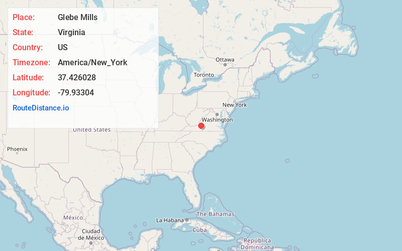
Full AddressGlebe Mills, VA 24175
-
Coordinates37.4260281, -79.9330395
-
LocationGlebe Mills , Virginia , US
-
TimezoneAmerica/New_York
-
Current Local Time6:47:30 PM America/New_YorkWednesday, June 18, 2025
-
Page Views0
About Glebe Mills
Glebe Mills is an unincorporated community in Botetourt County, Virginia, United States.
Nearby Places
Found 10 places within 50 miles

Daleville
1.6 mi
2.6 km
Daleville, VA
Get directions

Trinity
3.1 mi
5.0 km
Trinity, VA 24175
Get directions

Troutville
3.2 mi
5.1 km
Troutville, VA 24175
Get directions

Haymakertown
3.5 mi
5.6 km
Haymakertown, VA 24175
Get directions

Cloverdale
4.6 mi
7.4 km
Cloverdale, VA
Get directions
Waterfall Lake
5.1 mi
8.2 km
Waterfall Lake, Hollins, VA 24019
Get directions
Laymantown
5.9 mi
9.5 km
Laymantown, VA
Get directions

Hollins
5.9 mi
9.5 km
Hollins, VA
Get directions

Fincastle
5.9 mi
9.5 km
Fincastle, VA 24090
Get directions

Blue Ridge
7.7 mi
12.4 km
Blue Ridge, VA
Get directions
Location Links
Local Weather
Weather Information
Coming soon!
Location Map
Static map view of Glebe Mills, Virginia
Browse Places by Distance
Places within specific distances from Glebe Mills
Short Distances
Long Distances
Click any distance to see all places within that range from Glebe Mills. Distances shown in miles (1 mile ≈ 1.61 kilometers).