Distance to Gleeson, Arizona

Calculating Your Route
Just a moment while we process your request...
Location Information
-
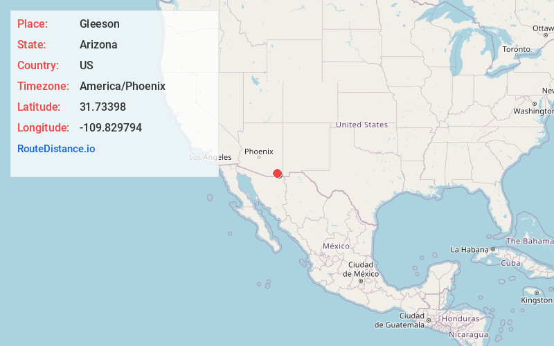
Full AddressGleeson, AZ 85610
-
Coordinates31.7339802, -109.8297941
-
LocationGleeson , Arizona , US
-
TimezoneAmerica/Phoenix
-
Current Local Time2:38:38 AM America/PhoenixSaturday, June 21, 2025
-
Page Views0
About Gleeson
Gleeson is a ghost town situated in southeastern Cochise County, Arizona, United States. It has an estimated elevation of 4,924 feet above sea level. The town was first settled as Turquoise in the 1870s in what was then the Arizona Territory, then later re-established as Gleeson in 1900.


Nearby Places
Found 10 places within 50 miles

Elfrida
9.0 mi
14.5 km
Elfrida, AZ 85610
Get directions

McNeal
13.2 mi
21.2 km
McNeal, AZ 85617
Get directions

Tombstone
14.1 mi
22.7 km
Tombstone, AZ
Get directions

Sunizona
14.4 mi
23.2 km
Sunizona, AZ 85625
Get directions

Bisbee
20.6 mi
33.2 km
Bisbee, AZ 85603
Get directions

Dragoon
23.9 mi
38.5 km
Dragoon, AZ 85609
Get directions

St David
25.5 mi
41.0 km
St David, AZ 85630
Get directions

Naco
28.4 mi
45.7 km
Naco, AZ
Get directions

Sierra Vista
28.6 mi
46.0 km
Sierra Vista, AZ
Get directions

Sierra Vista Southeast
29.5 mi
47.5 km
Sierra Vista Southeast, AZ
Get directions
Location Links
Local Weather
Weather Information
Coming soon!
Location Map
Static map view of Gleeson, Arizona
Browse Places by Distance
Places within specific distances from Gleeson
Short Distances
Long Distances
Click any distance to see all places within that range from Gleeson. Distances shown in miles (1 mile ≈ 1.61 kilometers).