Distance to Sunizona, Arizona

Calculating Your Route
Just a moment while we process your request...
Location Information
-
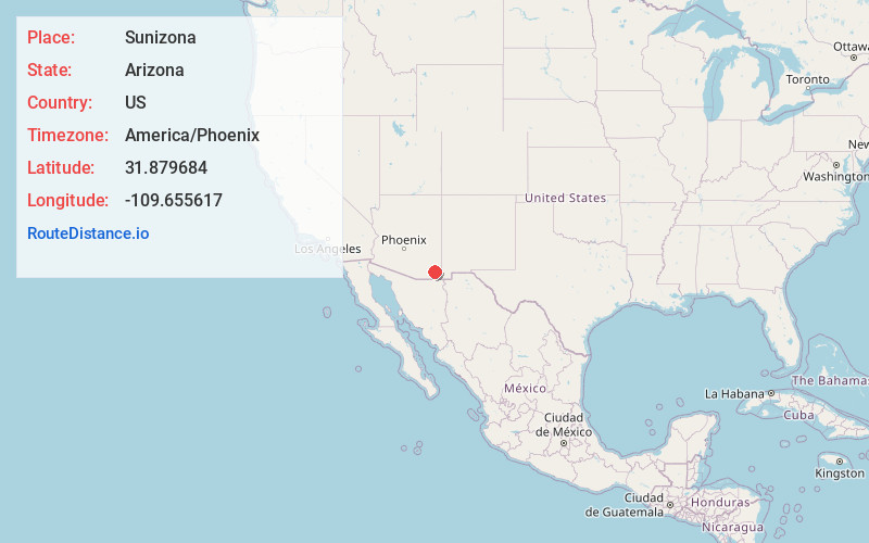
Full AddressSunizona, AZ 85625
-
Coordinates31.879684, -109.655617
-
LocationSunizona , Arizona , US
-
TimezoneAmerica/Phoenix
-
Current Local Time4:33:29 AM America/PhoenixSunday, June 29, 2025
-
Page Views0
About Sunizona
Sunizona is a census-designated place in the central portion of Cochise County in the state of Arizona, United States. Sunizona is located approximately 10 miles to the east of Pearce along Arizona State Highway 181, near US 191. According to the U.S. Census Bureau, the population of Sunizona was 212 in 2019.

Nearby Places
Found 10 places within 50 miles

Elfrida
13.6 mi
21.9 km
Elfrida, AZ 85610
Get directions

Tombstone
26.8 mi
43.1 km
Tombstone, AZ
Get directions

Willcox
27.8 mi
44.7 km
Willcox, AZ 85643
Get directions

Bowie
32.4 mi
52.1 km
Bowie, AZ 85605
Get directions

St David
32.8 mi
52.8 km
St David, AZ 85630
Get directions

Bisbee
33.9 mi
54.6 km
Bisbee, AZ 85603
Get directions
Pirtleville
36.5 mi
58.7 km
Pirtleville, AZ
Get directions

San Simon
36.7 mi
59.1 km
San Simon, AZ 85632
Get directions

Douglas
37.5 mi
60.4 km
Douglas, AZ 85607
Get directions

Benson
38.0 mi
61.2 km
Benson, AZ
Get directions
Location Links
Local Weather
Weather Information
Coming soon!
Location Map
Static map view of Sunizona, Arizona
Browse Places by Distance
Places within specific distances from Sunizona
Short Distances
Long Distances
Click any distance to see all places within that range from Sunizona. Distances shown in miles (1 mile ≈ 1.61 kilometers).