Distance to Glenburn, North Dakota

Calculating Your Route
Just a moment while we process your request...
Location Information
-
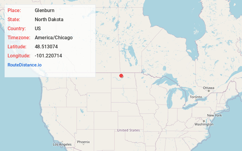
Full AddressGlenburn, ND 58740
-
Coordinates48.5130744, -101.2207138
-
LocationGlenburn , North Dakota , US
-
TimezoneAmerica/Chicago
-
Current Local Time5:50:11 PM America/ChicagoWednesday, June 18, 2025
-
Page Views0
About Glenburn
Glenburn is a city in Renville County, North Dakota, United States. The population was 404 at the 2020 census. It is part of the Minot Micropolitan Statistical Area. Glenburn was founded in 1903.
Nearby Places
Found 8 places within 50 miles

Minot Air Force Base
8.0 mi
12.9 km
Minot Air Force Base, ND
Get directions

Burlington
19.0 mi
30.6 km
Burlington, ND
Get directions

Surrey
19.5 mi
31.4 km
Surrey, ND
Get directions

Minot
19.6 mi
31.5 km
Minot, ND
Get directions

Mohall
21.9 mi
35.2 km
Mohall, ND 58761
Get directions

Velva
34.3 mi
55.2 km
Velva, ND 58790
Get directions

Kenmare
40.9 mi
65.8 km
Kenmare, ND 58746
Get directions

Bottineau
41.5 mi
66.8 km
Bottineau, ND 58318
Get directions
Location Links
Local Weather
Weather Information
Coming soon!
Location Map
Static map view of Glenburn, North Dakota
Browse Places by Distance
Places within specific distances from Glenburn
Short Distances
Long Distances
Click any distance to see all places within that range from Glenburn. Distances shown in miles (1 mile ≈ 1.61 kilometers).