Distance to Glencoe, New Mexico

Calculating Your Route
Just a moment while we process your request...
Location Information
-
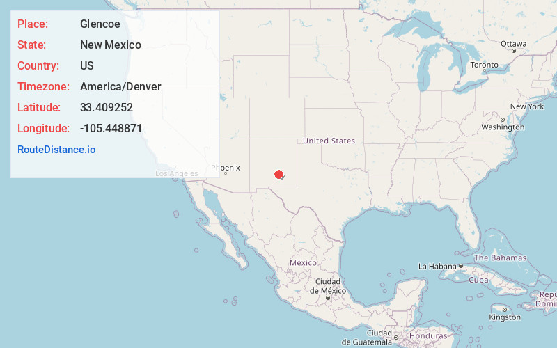
Full AddressGlencoe, NM 88324
-
Coordinates33.4092517, -105.4488712
-
LocationGlencoe , New Mexico , US
-
TimezoneAmerica/Denver
-
Current Local Time2:29:50 AM America/DenverWednesday, June 18, 2025
-
Page Views0
About Glencoe
Glencoe is an unincorporated community in Lincoln County, New Mexico, United States. Its ZIP code is 88324.
The community is located on the Rio Ruidoso and U.S. Highway 70, between Ruidoso Downs and San Patricio. It is just east of the Lincoln National Forest.


Nearby Places
Found 10 places within 50 miles

Lincoln
6.8 mi
10.9 km
Lincoln, NM 88338
Get directions

Ruidoso Downs
10.6 mi
17.1 km
Ruidoso Downs, NM 88346
Get directions

Capitan
11.8 mi
19.0 km
Capitan, NM 88316
Get directions

Tinnie
13.1 mi
21.1 km
Tinnie, NM 88343
Get directions

Sun Valley
13.5 mi
21.7 km
Sun Valley, NM 88312
Get directions
Coalora
13.9 mi
22.4 km
Coalora, NM 88316
Get directions
Sierra Vista
14.1 mi
22.7 km
Sierra Vista, NM 88312
Get directions

Ruidoso
14.4 mi
23.2 km
Ruidoso, NM
Get directions
Villa Madonna
15.9 mi
25.6 km
Villa Madonna, NM 88312
Get directions

Picacho
18.0 mi
29.0 km
Picacho, NM 88343
Get directions
Location Links
Local Weather
Weather Information
Coming soon!
Location Map
Static map view of Glencoe, New Mexico
Browse Places by Distance
Places within specific distances from Glencoe
Short Distances
Long Distances
Click any distance to see all places within that range from Glencoe. Distances shown in miles (1 mile ≈ 1.61 kilometers).