Distance to Glendale, Colorado

Calculating Your Route
Just a moment while we process your request...
Location Information
-
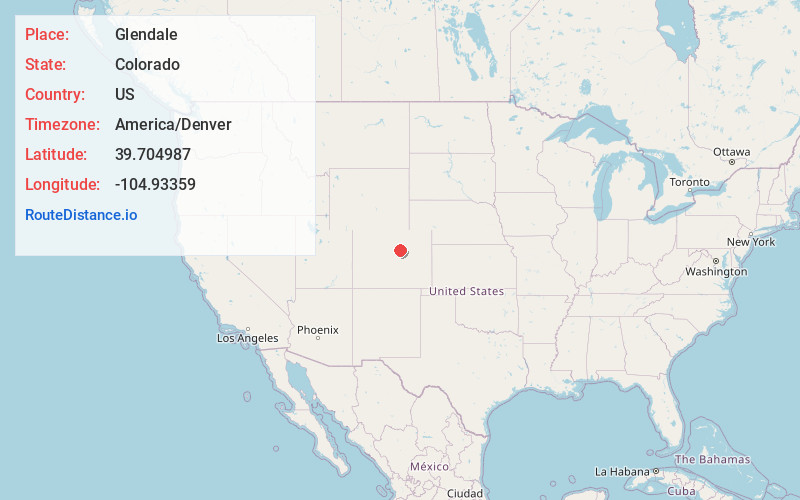
Full AddressGlendale, CO 80246
-
Coordinates39.7049873, -104.9335904
-
LocationGlendale , Colorado , US
-
TimezoneAmerica/Denver
-
Current Local Time4:53:40 PM America/DenverWednesday, July 2, 2025
-
Website
-
Page Views0
About Glendale
The City of Glendale is a home rule municipality located in an exclave of Arapahoe County, Colorado, United States. The city population was 4,613 at the 2020 United States census. Glendale is an enclave of the City and County of Denver and is the most densely populated municipality in Colorado.


Nearby Places
Found 10 places within 50 miles

Denver
3.8 mi
6.1 km
Denver, CO
Get directions

Englewood
4.9 mi
7.9 km
Englewood, CO
Get directions

Aurora
5.7 mi
9.2 km
Aurora, CO
Get directions

Greenwood Village
6.1 mi
9.8 km
Greenwood Village, CO
Get directions

Sheridan
6.3 mi
10.1 km
Sheridan, CO
Get directions

Commerce City
7.1 mi
11.4 km
Commerce City, CO
Get directions

Edgewater
7.7 mi
12.4 km
Edgewater, CO 80214
Get directions

Littleton
7.7 mi
12.4 km
Littleton, CO
Get directions

Lakewood
7.9 mi
12.7 km
Lakewood, CO
Get directions

Wheat Ridge
8.7 mi
14.0 km
Wheat Ridge, CO
Get directions
Location Links
Local Weather
Weather Information
Coming soon!
Location Map
Static map view of Glendale, Colorado
Browse Places by Distance
Places within specific distances from Glendale
Short Distances
Long Distances
Click any distance to see all places within that range from Glendale. Distances shown in miles (1 mile ≈ 1.61 kilometers).