Distance to Glendale Heights, Illinois

Calculating Your Route
Just a moment while we process your request...
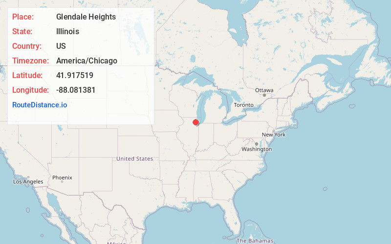
Location Information
-
Full AddressGlendale Heights, IL
-
Coordinates41.917519, -88.0813813
-
LocationGlendale Heights , Illinois , US
-
TimezoneAmerica/Chicago
-
Current Local Time4:12:51 PM America/ChicagoWednesday, June 18, 2025
-
Website
-
Page Views0
About Glendale Heights
Glendale Heights is a village in DuPage County, Illinois, United States. Per the 2020 census, the population was 33,176. The village is almost entirely residential, and is a far west suburb of Chicago.


Nearby Places
Found 10 places within 50 miles

Carol Stream
2.8 mi
4.5 km
Carol Stream, IL
Get directions

Wheaton
3.8 mi
6.1 km
Wheaton, IL
Get directions

Lombard
4.6 mi
7.4 km
Lombard, IL
Get directions

Addison
4.9 mi
7.9 km
Addison, IL
Get directions

Hanover Park
6.5 mi
10.5 km
Hanover Park, IL
Get directions

Elmhurst
7.3 mi
11.7 km
Elmhurst, IL
Get directions

Schaumburg
7.5 mi
12.1 km
Schaumburg, IL
Get directions

Bartlett
7.6 mi
12.2 km
Bartlett, IL
Get directions

Downers Grove
8.3 mi
13.4 km
Downers Grove, IL
Get directions

Streamwood
9.0 mi
14.5 km
Streamwood, IL
Get directions
Location Links
Local Weather
Weather Information
Coming soon!
Location Map
Static map view of Glendale Heights, Illinois
Browse Places by Distance
Places within specific distances from Glendale Heights
Short Distances
Long Distances
Click any distance to see all places within that range from Glendale Heights. Distances shown in miles (1 mile ≈ 1.61 kilometers).