Distance to Wheaton, Illinois

Calculating Your Route
Just a moment while we process your request...
Location Information
-
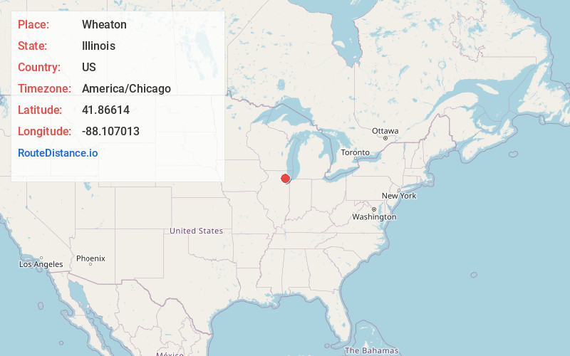
Full AddressWheaton, IL
-
Coordinates41.8661403, -88.1070127
-
LocationWheaton , Illinois , US
-
TimezoneAmerica/Chicago
-
Current Local Time12:52:50 PM America/ChicagoThursday, May 22, 2025
-
Website
-
Page Views0
About Wheaton
Wheaton is a city in and the county seat of DuPage County, Illinois, United States. It is located in Milton and Winfield Townships, approximately 25 miles west of Chicago. As of the 2020 census, Wheaton's population was 53,970, making it the 27th-most populous municipality in the state.


Nearby Places
Found 10 places within 50 miles

Naperville
8.3 mi
13.4 km
Naperville, IL
Get directions

Schaumburg
11.2 mi
18.0 km
Schaumburg, IL
Get directions

Bolingbrook
11.7 mi
18.8 km
Bolingbrook, IL
Get directions

Aurora
13.2 mi
21.2 km
Aurora, IL
Get directions

Elgin
14.8 mi
23.8 km
Elgin, IL
Get directions

Arlington Heights
16.7 mi
26.9 km
Arlington Heights, IL
Get directions

Palatine
17.3 mi
27.8 km
Palatine, IL
Get directions

Cicero
18.6 mi
29.9 km
Cicero, IL
Get directions

Oak Lawn
21.1 mi
34.0 km
Oak Lawn, IL 60453
Get directions

Skokie
22.0 mi
35.4 km
Skokie, IL
Get directions
Location Links
Local Weather
Weather Information
Coming soon!
Location Map
Static map view of Wheaton, Illinois
Browse Places by Distance
Places within specific distances from Wheaton
Short Distances
Long Distances
Click any distance to see all places within that range from Wheaton. Distances shown in miles (1 mile ≈ 1.61 kilometers).