Distance to Palatine, Illinois

Calculating Your Route
Just a moment while we process your request...
Location Information
-
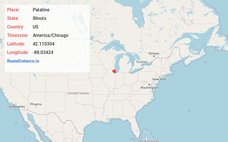
Full AddressPalatine, IL
-
Coordinates42.1103041, -88.03424
-
LocationPalatine , Illinois , US
-
TimezoneAmerica/Chicago
-
Current Local Time2:21:47 PM America/ChicagoFriday, May 30, 2025
-
Website
-
Page Views0
About Palatine
Palatine is a village in Cook and Lake counties, Illinois, United States. It is a northwestern residential suburb of Chicago. As of the 2020 census, it had a population of 67,908. As of the 2010 Census, it was the seventh-largest community in Cook County and the 18th-largest in Illinois.


Nearby Places
Found 10 places within 50 miles

Arlington Heights
3.1 mi
5.0 km
Arlington Heights, IL
Get directions

Schaumburg
6.1 mi
9.8 km
Schaumburg, IL
Get directions

Elgin
13.7 mi
22.0 km
Elgin, IL
Get directions

Skokie
15.9 mi
25.6 km
Skokie, IL
Get directions

Waukegan
20.0 mi
32.2 km
Waukegan, IL
Get directions

Cicero
23.3 mi
37.5 km
Cicero, IL
Get directions

Naperville
25.6 mi
41.2 km
Naperville, IL
Get directions

Chicago
26.2 mi
42.2 km
Chicago, IL
Get directions

Aurora
28.3 mi
45.5 km
Aurora, IL
Get directions

Bolingbrook
28.5 mi
45.9 km
Bolingbrook, IL
Get directions
Location Links
Local Weather
Weather Information
Coming soon!
Location Map
Static map view of Palatine, Illinois
Browse Places by Distance
Places within specific distances from Palatine
Short Distances
Long Distances
Click any distance to see all places within that range from Palatine. Distances shown in miles (1 mile ≈ 1.61 kilometers).