Distance to Glendale, Kentucky

Calculating Your Route
Just a moment while we process your request...
Location Information
-
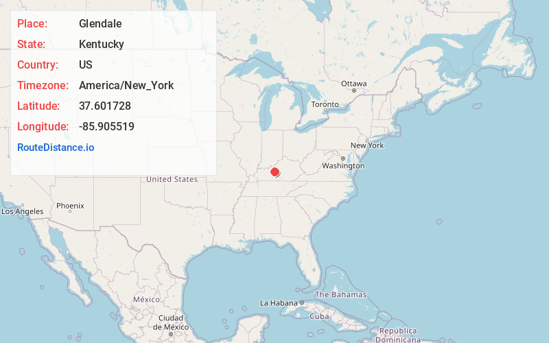
Full AddressGlendale, KY 42740
-
Coordinates37.6017278, -85.9055189
-
LocationGlendale , Kentucky , US
-
TimezoneAmerica/New_York
-
Current Local Time12:37:24 AM America/New_YorkSunday, June 8, 2025
-
Page Views0
About Glendale
Glendale is an unincorporated community in Hardin County, Kentucky, United States. It is included in the Elizabethtown, Kentucky Metropolitan Statistical Area.


Nearby Places
Found 10 places within 50 miles

Nolin
2.8 mi
4.5 km
Nolin, KY 42776
Get directions
Gaithers
3.9 mi
6.3 km
Gaithers, KY 42701
Get directions
Star Mills
4.1 mi
6.6 km
Star Mills, KY 42740
Get directions

Cecilia
5.2 mi
8.4 km
Cecilia, KY 42724
Get directions
Hansbrough
5.3 mi
8.5 km
Hansbrough, KY 42724
Get directions

Sonora
5.4 mi
8.7 km
Sonora, KY
Get directions

Elizabethtown
7.3 mi
11.7 km
Elizabethtown, KY
Get directions
St John
7.5 mi
12.1 km
St John, KY 42701
Get directions
White Mills
7.6 mi
12.2 km
White Mills, KY 42788
Get directions

Eastview
8.3 mi
13.4 km
Eastview, KY 42732
Get directions
Location Links
Local Weather
Weather Information
Coming soon!
Location Map
Static map view of Glendale, Kentucky
Browse Places by Distance
Places within specific distances from Glendale
Short Distances
Long Distances
Click any distance to see all places within that range from Glendale. Distances shown in miles (1 mile ≈ 1.61 kilometers).