Distance to Cecilia, Kentucky

Calculating Your Route
Just a moment while we process your request...
Location Information
-
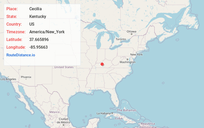
Full AddressCecilia, KY 42724
-
Coordinates37.6658962, -85.9566304
-
LocationCecilia , Kentucky , US
-
TimezoneAmerica/New_York
-
Current Local Time7:48:00 PM America/New_YorkThursday, July 3, 2025
-
Page Views0
About Cecilia
Cecilia is a census-designated place and unincorporated community in Hardin County, Kentucky, United States. It is located 6 miles west of Elizabethtown, the county seat. As of the 2020 Census, the population was 575, stagnant from the 2010 census population of 572.


Nearby Places
Found 10 places within 50 miles

Elizabethtown
5.4 mi
8.7 km
Elizabethtown, KY
Get directions

Rineyville
5.8 mi
9.3 km
Rineyville, KY
Get directions

Vine Grove
10.1 mi
16.3 km
Vine Grove, KY
Get directions

Sonora
10.4 mi
16.7 km
Sonora, KY
Get directions

Radcliff
11.8 mi
19.0 km
Radcliff, KY
Get directions

Hodgenville
13.4 mi
21.6 km
Hodgenville, KY 42748
Get directions

Upton
14.3 mi
23.0 km
Upton, KY 42784
Get directions

Lebanon Junction
17.0 mi
27.4 km
Lebanon Junction, KY 40150
Get directions

Fort Knox
17.3 mi
27.8 km
Fort Knox, KY 40121
Get directions

Buffalo
17.7 mi
28.5 km
Buffalo, KY
Get directions
Location Links
Local Weather
Weather Information
Coming soon!
Location Map
Static map view of Cecilia, Kentucky
Browse Places by Distance
Places within specific distances from Cecilia
Short Distances
Long Distances
Click any distance to see all places within that range from Cecilia. Distances shown in miles (1 mile ≈ 1.61 kilometers).