Distance to Glendale, New Hampshire

Calculating Your Route
Just a moment while we process your request...
Location Information
-
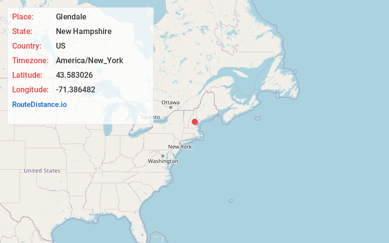
Full AddressGlendale, NH 03249
-
Coordinates43.5830264, -71.3864821
-
NeighborhoodGlendale
-
LocationGlendale , New Hampshire , US
-
TimezoneAmerica/New_York
-
Current Local Time1:21:16 AM America/New_YorkSaturday, June 7, 2025
-
Page Views0
About Glendale
Glendale is an unincorporated community in the town of Gilford in Belknap County, New Hampshire, United States. Glendale is located on the southern shore of Lake Winnipesaukee, east of Laconia. Glendale is served by New Hampshire Route 11 and is near Laconia Municipal Airport.
Nearby Places
Found 10 places within 50 miles

Gilford
0.8 mi
1.3 km
Gilford, NH 03249
Get directions

Bear Island
3.9 mi
6.3 km
Bear Island, Meredith, NH 03253
Get directions

Laconia
5.6 mi
9.0 km
Laconia, NH
Get directions

Lake Winnisquam
6.7 mi
10.8 km
Lake Winnisquam, New Hampshire
Get directions
Meredith
7.7 mi
12.4 km
Meredith, NH
Get directions

Lake Winnipesaukee
8.6 mi
13.8 km
Lake Winnipesaukee, New Hampshire
Get directions

Tuftonboro
8.8 mi
14.2 km
Tuftonboro, NH
Get directions

Wolfeboro
8.8 mi
14.2 km
Wolfeboro, NH
Get directions

Center Harbor
9.5 mi
15.3 km
Center Harbor, NH
Get directions

South Wolfeboro Bay
10.1 mi
16.3 km
South Wolfeboro Bay, Wolfeboro, NH 03894
Get directions
Location Links
Local Weather
Weather Information
Coming soon!
Location Map
Static map view of Glendale, New Hampshire
Browse Places by Distance
Places within specific distances from Glendale
Short Distances
Long Distances
Click any distance to see all places within that range from Glendale. Distances shown in miles (1 mile ≈ 1.61 kilometers).