Distance to Glenn Dale, Maryland

Calculating Your Route
Just a moment while we process your request...
Location Information
-
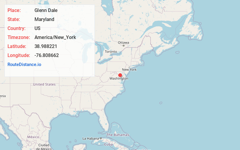
Full AddressGlenn Dale, MD
-
Coordinates38.9882211, -76.8086617
-
LocationGlenn Dale , Maryland , US
-
TimezoneAmerica/New_York
-
Current Local Time3:47:38 PM America/New_YorkTuesday, June 24, 2025
-
Page Views0
About Glenn Dale
Glenn Dale is an unincorporated area and census-designated place in Prince George's County, Maryland, United States. The population was 14,698 at the 2020 census. Glenn Dale is home to the Glenn Dale Hospital, an abandoned sanatorium, and the USDA Plant Introduction Station.


Nearby Places
Found 10 places within 50 miles

Bowie
2.0 mi
3.2 km
Bowie, MD
Get directions

Seabrook
2.5 mi
4.0 km
Seabrook, MD
Get directions

Greenbelt
3.8 mi
6.1 km
Greenbelt, MD
Get directions
East Riverdale
5.9 mi
9.5 km
East Riverdale, MD
Get directions
South Laurel
6.1 mi
9.8 km
South Laurel, MD
Get directions
Greater Landover
6.1 mi
9.8 km
Greater Landover, MD
Get directions

Beltsville
6.2 mi
10.0 km
Beltsville, MD
Get directions

Crofton
6.6 mi
10.6 km
Crofton, MD
Get directions
Summerfield
6.7 mi
10.8 km
Summerfield, MD
Get directions

College Park
6.9 mi
11.1 km
College Park, MD
Get directions
Location Links
Local Weather
Weather Information
Coming soon!
Location Map
Static map view of Glenn Dale, Maryland
Browse Places by Distance
Places within specific distances from Glenn Dale
Short Distances
Long Distances
Click any distance to see all places within that range from Glenn Dale. Distances shown in miles (1 mile ≈ 1.61 kilometers).