Distance to Glenns, Virginia

Calculating Your Route
Just a moment while we process your request...
Location Information
-
Full AddressGlenns, VA 23061
-
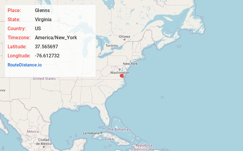
Coordinates37.5656966, -76.6127322
-
LocationGlenns , Virginia , US
-
TimezoneAmerica/New_York
-
Current Local Time6:12:22 AM America/New_YorkWednesday, June 18, 2025
-
Page Views0
About Glenns
Glenns is an unincorporated community in Gloucester County, Virginia, United States. Glenns is located at the junction of U.S. Route 17, Virginia Route 33, and Virginia Route 198 5.5 miles south-southwest of Urbanna. It is home to one of the campuses of Rappahannock Community College.

Nearby Places
Found 10 places within 50 miles

Saluda
3.0 mi
4.8 km
Saluda, VA 23149
Get directions
Stormont
3.3 mi
5.3 km
Stormont, VA 23149
Get directions
Adner
4.8 mi
7.7 km
Adner, VA 23149
Get directions
Christchurch
5.1 mi
8.2 km
Christchurch, VA 23092
Get directions

Urbanna
5.4 mi
8.7 km
Urbanna, VA
Get directions

Middlesex County
5.5 mi
8.9 km
Middlesex County, VA
Get directions
Healys
5.6 mi
9.0 km
Healys, VA 23092
Get directions
Pine Tree
6.0 mi
9.7 km
Pine Tree, VA 23175
Get directions
Locust Hill
6.0 mi
9.7 km
Locust Hill, VA 23092
Get directions
Woods Crossroads
6.1 mi
9.8 km
Woods Crossroads, VA 23061
Get directions
Location Links
Local Weather
Weather Information
Coming soon!
Location Map
Static map view of Glenns, Virginia
Browse Places by Distance
Places within specific distances from Glenns
Short Distances
Long Distances
Click any distance to see all places within that range from Glenns. Distances shown in miles (1 mile ≈ 1.61 kilometers).