Distance to Saluda, Virginia

Calculating Your Route
Just a moment while we process your request...
Location Information
-
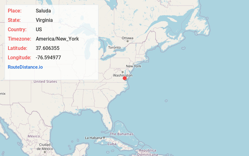
Full AddressSaluda, VA 23149
-
Coordinates37.6063547, -76.5949768
-
LocationSaluda , Virginia , US
-
TimezoneAmerica/New_York
-
Current Local Time8:09:05 PM America/New_YorkWednesday, June 25, 2025
-
Page Views0
About Saluda
Saluda is a census-designated place in and the county seat of Middlesex County, Virginia, United States.
Nearby Places
Found 10 places within 50 miles

West Point
12.2 mi
19.6 km
West Point, VA 23181
Get directions

Kilmarnock
13.8 mi
22.2 km
Kilmarnock, VA
Get directions

Deltaville
14.4 mi
23.2 km
Deltaville, VA 23043
Get directions

Mathews
19.1 mi
30.7 km
Mathews, VA 23109
Get directions

New Kent
22.3 mi
35.9 km
New Kent, VA 23124
Get directions

Williamsburg
23.7 mi
38.1 km
Williamsburg, VA
Get directions

Warsaw
25.9 mi
41.7 km
Warsaw, VA 22572
Get directions

Tappahannock
26.3 mi
42.3 km
Tappahannock, VA 22560
Get directions
Central Garage
30.9 mi
49.7 km
Central Garage, VA
Get directions

Poquoson
36.1 mi
58.1 km
Poquoson, VA
Get directions
Location Links
Local Weather
Weather Information
Coming soon!
Location Map
Static map view of Saluda, Virginia
Browse Places by Distance
Places within specific distances from Saluda
Short Distances
Long Distances
Click any distance to see all places within that range from Saluda. Distances shown in miles (1 mile ≈ 1.61 kilometers).