Distance to Glensted, Missouri

Calculating Your Route
Just a moment while we process your request...
Location Information
-
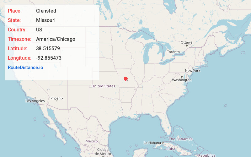
Full AddressGlensted, MO 65084
-
Coordinates38.5155788, -92.8554732
-
LocationGlensted , Missouri , US
-
TimezoneAmerica/Chicago
-
Current Local Time8:01:26 AM America/ChicagoWednesday, June 18, 2025
-
Page Views0
About Glensted
Glensted is an unincorporated community in Morgan County, in the U.S. state of Missouri.
Nearby Places
Found 10 places within 50 miles

Fortuna
4.7 mi
7.6 km
Fortuna, MO
Get directions

Versailles
5.9 mi
9.5 km
Versailles, MO 65084
Get directions
Florence
8.4 mi
13.5 km
Florence, MO 65329
Get directions
Pyrmont
8.9 mi
14.3 km
Pyrmont, Haw Creek Township, MO 65078
Get directions

Stover
9.0 mi
14.5 km
Stover, MO 65078
Get directions
Latham
9.9 mi
15.9 km
Latham, MO 65050
Get directions

Tipton
10.5 mi
16.9 km
Tipton, MO 65081
Get directions

Syracuse
10.7 mi
17.2 km
Syracuse, MO 65354
Get directions
Barnett
13.6 mi
21.9 km
Barnett, MO 65011
Get directions
Clarksburg
14.4 mi
23.2 km
Clarksburg, MO 65025
Get directions
Location Links
Local Weather
Weather Information
Coming soon!
Location Map
Static map view of Glensted, Missouri
Browse Places by Distance
Places within specific distances from Glensted
Short Distances
Long Distances
Click any distance to see all places within that range from Glensted. Distances shown in miles (1 mile ≈ 1.61 kilometers).