Distance to Florence, Missouri

Calculating Your Route
Just a moment while we process your request...
Location Information
-
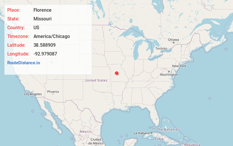
Full AddressFlorence, MO 65329
-
Coordinates38.5889094, -92.9790873
-
LocationFlorence , Missouri , US
-
TimezoneAmerica/Chicago
-
Current Local Time10:02:24 PM America/ChicagoTuesday, June 3, 2025
-
Page Views0
About Florence
Florence is an unincorporated community in Morgan County, Missouri, United States. It is located eight miles south of U.S. Route 50 on Missouri Route 135.
A post office called Florence has been in operation since 1839. Early variant names were "Williamsville" and "Jonesboro".
Nearby Places
Found 10 places within 50 miles

Pyrmont
5.9 mi
9.5 km
Pyrmont, Haw Creek Township, MO 65078
Get directions
Otterville
7.8 mi
12.6 km
Otterville, MO 65348
Get directions
Lake Creek
7.9 mi
12.7 km
Lake Creek, Missouri
Get directions

Syracuse
8.0 mi
12.9 km
Syracuse, MO 65354
Get directions

Smithton
8.8 mi
14.2 km
Smithton, MO 65350
Get directions
Fortuna
9.9 mi
15.9 km
Fortuna, MO
Get directions

Stover
10.3 mi
16.6 km
Stover, MO 65078
Get directions

Tipton
11.7 mi
18.8 km
Tipton, MO 65081
Get directions

Clifton City
12.6 mi
20.3 km
Clifton City, MO 65348
Get directions

Versailles
13.2 mi
21.2 km
Versailles, MO 65084
Get directions
Location Links
Local Weather
Weather Information
Coming soon!
Location Map
Static map view of Florence, Missouri
Browse Places by Distance
Places within specific distances from Florence
Short Distances
Long Distances
Click any distance to see all places within that range from Florence. Distances shown in miles (1 mile ≈ 1.61 kilometers).