Distance to Glenville, Connecticut

Calculating Your Route
Just a moment while we process your request...
Location Information
-
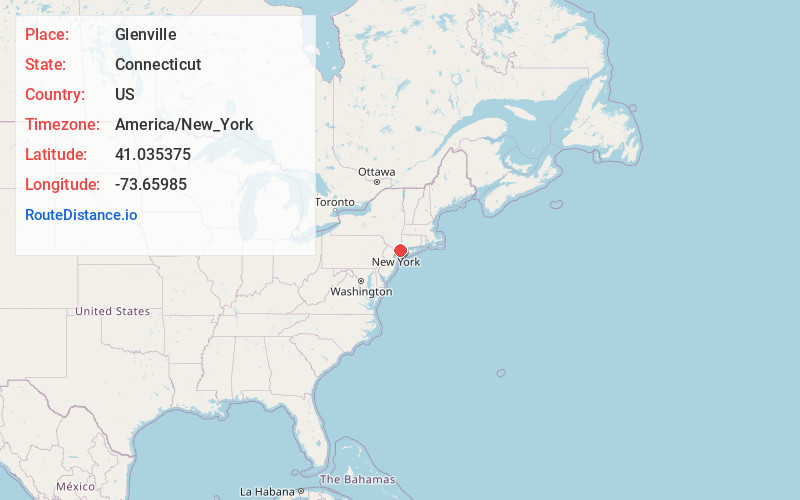
Full AddressGlenville, Greenwich, CT
-
Coordinates41.035375, -73.6598501
-
NeighborhoodGlenville
-
LocationGreenwich , Connecticut , US
-
TimezoneAmerica/New_York
-
Current Local Time7:11:02 AM America/New_YorkThursday, May 29, 2025
-
Page Views0
About Glenville
Glenville is a neighborhood and census-designated place in the town of Greenwich in Fairfield County, Connecticut, United States. As of the 2010 census, it had a population of 2,327. It is located in the western part of Greenwich at the falls of the Byram River, which provided waterpower when this was a mill village.
Nearby Places
Found 10 places within 50 miles

Rye Brook
1.6 mi
2.6 km
Rye Brook, NY
Get directions

Port Chester
2.3 mi
3.7 km
Port Chester, NY 10573
Get directions

Rye
4.0 mi
6.4 km
Rye, NY
Get directions

Harrison
5.4 mi
8.7 km
Harrison, NY
Get directions

White Plains
5.5 mi
8.9 km
White Plains, NY
Get directions

Ridgeway
5.8 mi
9.3 km
Ridgeway, White Plains, NY 10605
Get directions

Stamford
6.4 mi
10.3 km
Stamford, CT
Get directions

Scarsdale
6.8 mi
10.9 km
Scarsdale, NY 10583
Get directions

Armonk
6.9 mi
11.1 km
Armonk, NY 10504
Get directions

Mamaroneck
7.1 mi
11.4 km
Mamaroneck, NY
Get directions
Location Links
Local Weather
Weather Information
Coming soon!
Location Map
Static map view of Glenville, Connecticut
Browse Places by Distance
Places within specific distances from Glenville
Short Distances
Long Distances
Click any distance to see all places within that range from Glenville. Distances shown in miles (1 mile ≈ 1.61 kilometers).