Distance to Glomawr, Kentucky

Calculating Your Route
Just a moment while we process your request...
Location Information
-
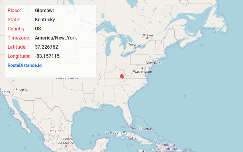
Full AddressGlomawr, KY 41751
-
Coordinates37.2267624, -83.1571154
-
LocationKentucky , US
-
TimezoneAmerica/New_York
-
Current Local Time10:59:37 PM America/New_YorkWednesday, June 18, 2025
-
Page Views0
About Glomawr
Glomawr is an unincorporated community located in Perry County, Kentucky, United States.
Glomawr is the site of a former coal mine owned by the East Tennessee Coal Co. A post office was established in 1915, and supposedly named for the old Welsh word for high coal.
Nearby Places
Found 10 places within 50 miles

Diablock
0.8 mi
1.3 km
Diablock, KY 41701
Get directions
Christopher
0.9 mi
1.4 km
Christopher, Diablock, KY 41701
Get directions

Jeff
1.9 mi
3.1 km
Jeff, KY
Get directions

Hazard
2.5 mi
4.0 km
Hazard, KY
Get directions
Happy
3.7 mi
6.0 km
Happy, KY 41746
Get directions
Defiance
3.9 mi
6.3 km
Defiance, KY 41760
Get directions
Eversole
4.0 mi
6.4 km
Eversole, KY 41701
Get directions

Combs
4.1 mi
6.6 km
Combs, KY
Get directions
Browns Fork
4.2 mi
6.8 km
Browns Fork, KY 41701
Get directions
Grigsby
4.2 mi
6.8 km
Grigsby, KY 41701
Get directions
Location Links
Local Weather
Weather Information
Coming soon!
Location Map
Static map view of Glomawr, Kentucky
Browse Places by Distance
Places within specific distances from Glomawr
Short Distances
Long Distances
Click any distance to see all places within that range from Glomawr. Distances shown in miles (1 mile ≈ 1.61 kilometers).