Distance to Glover, Vermont

Calculating Your Route
Just a moment while we process your request...
Location Information
-
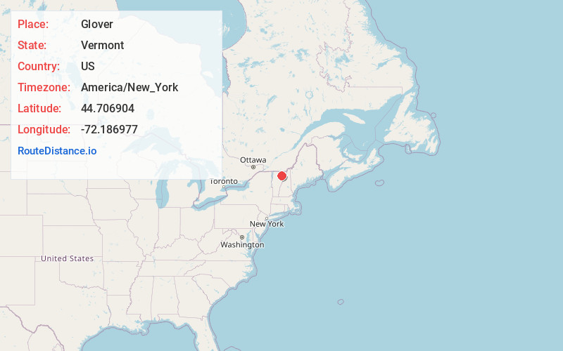
Full AddressGlover, VT
-
Coordinates44.7069038, -72.1869766
-
LocationGlover , Vermont , US
-
TimezoneAmerica/New_York
-
Current Local Time1:35:55 PM America/New_YorkThursday, June 19, 2025
-
Page Views0
About Glover
Glover is a town in Orleans County, Vermont, in the United States. As of the 2020 census, the town's population was 1,114. It contains two unincorporated villages, Glover and West Glover.
The town is named for Brigadier General John Glover, who served in the American Revolutionary War.


Nearby Places
Found 10 places within 50 miles

Barton
2.9 mi
4.7 km
Barton, VT
Get directions

Brownington
8.3 mi
13.4 km
Brownington, VT
Get directions

Albany
9.6 mi
15.4 km
Albany, VT
Get directions

Craftsbury
10.3 mi
16.6 km
Craftsbury, VT
Get directions

Burke
13.0 mi
20.9 km
Burke, VT
Get directions

Hardwick
13.9 mi
22.4 km
Hardwick, VT
Get directions
Lowell
14.3 mi
23.0 km
Lowell, VT
Get directions

Lyndon
14.5 mi
23.3 km
Lyndon, VT
Get directions

Newport
15.9 mi
25.6 km
Newport, VT 05855
Get directions

Derby
17.3 mi
27.8 km
Derby, VT
Get directions
Location Links
Local Weather
Weather Information
Coming soon!
Location Map
Static map view of Glover, Vermont
Browse Places by Distance
Places within specific distances from Glover
Short Distances
Long Distances
Click any distance to see all places within that range from Glover. Distances shown in miles (1 mile ≈ 1.61 kilometers).