Distance to Lowell, Vermont

Calculating Your Route
Just a moment while we process your request...
Location Information
-
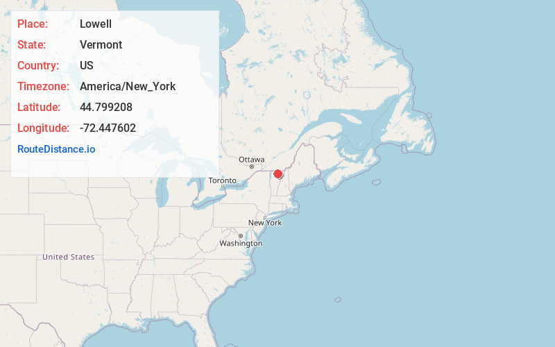
Full AddressLowell, VT
-
Coordinates44.7992084, -72.4476024
-
LocationLowell , Vermont , US
-
TimezoneAmerica/New_York
-
Current Local Time6:54:36 PM America/New_YorkSaturday, June 14, 2025
-
Page Views0
About Lowell
Lowell is the westernmost town in Orleans County, Vermont, United States. The population was 887 at the 2020 census.
Nearby Places
Found 10 places within 50 miles

Albany
5.8 mi
9.3 km
Albany, VT
Get directions

Troy
7.5 mi
12.1 km
Troy, VT
Get directions

Eden
8.0 mi
12.9 km
Eden, VT
Get directions

Montgomery
11.8 mi
19.0 km
Montgomery, VT
Get directions

Craftsbury
11.8 mi
19.0 km
Craftsbury, VT
Get directions

Barton
13.8 mi
22.2 km
Barton, VT
Get directions

Brownington
14.9 mi
24.0 km
Brownington, VT
Get directions

Newport
15.2 mi
24.5 km
Newport, VT 05855
Get directions

Hyde Park
16.2 mi
26.1 km
Hyde Park, VT
Get directions
Bakersfield
17.5 mi
28.2 km
Bakersfield, VT
Get directions
Location Links
Local Weather
Weather Information
Coming soon!
Location Map
Static map view of Lowell, Vermont
Browse Places by Distance
Places within specific distances from Lowell
Short Distances
Long Distances
Click any distance to see all places within that range from Lowell. Distances shown in miles (1 mile ≈ 1.61 kilometers).