Distance to Glynn, Louisiana

Calculating Your Route
Just a moment while we process your request...
Location Information
-
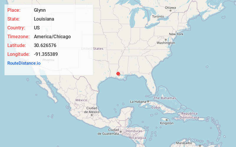
Full AddressGlynn, LA 70773
-
Coordinates30.6265763, -91.3553885
-
LocationGlynn , Louisiana , US
-
TimezoneAmerica/Chicago
-
Current Local Time10:33:49 AM America/ChicagoMonday, June 16, 2025
-
Page Views0
About Glynn
Glynn is an unincorporated community in southeastern Pointe Coupee Parish, Louisiana, United States. The community is located along Louisiana Highway 416, west of the Mississippi River.
Nearby Places
Found 10 places within 50 miles

Chenal Crossing
0.7 mi
1.1 km
Chenal Crossing, LA 70736
Get directions
Arbroth
2.4 mi
3.9 km
Arbroth, LA 70729
Get directions
Yattan
2.7 mi
4.3 km
Yattan, LA 70729
Get directions
Alma
2.9 mi
4.7 km
Alma, LA 70752
Get directions
Lakeland
3.1 mi
5.0 km
Lakeland, LA 70752
Get directions
Walls
3.3 mi
5.3 km
Walls, LA 70729
Get directions
Anchor
3.9 mi
6.3 km
Anchor, LA 70749
Get directions
Island
4.1 mi
6.6 km
Island, LA 70783
Get directions
Alfords
4.5 mi
7.2 km
Alfords, LA 70729
Get directions
Port Hickey
4.5 mi
7.2 km
Port Hickey, LA 70791
Get directions
Location Links
Local Weather
Weather Information
Coming soon!
Location Map
Static map view of Glynn, Louisiana
Browse Places by Distance
Places within specific distances from Glynn
Short Distances
Long Distances
Click any distance to see all places within that range from Glynn. Distances shown in miles (1 mile ≈ 1.61 kilometers).