Distance to Gober, Texas

Calculating Your Route
Just a moment while we process your request...
Location Information
-
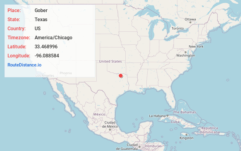
Full AddressGober, TX 75496
-
Coordinates33.4689962, -96.0885839
-
LocationGober , Texas , US
-
TimezoneAmerica/Chicago
-
Current Local Time10:39:00 AM America/ChicagoFriday, June 20, 2025
-
Page Views0
About Gober
Gober is an unincorporated community in southeastern Fannin County, Texas, United States. Although Gober is unincorporated, it has a post office, with the ZIP code of 75443, which first opened in 1879.
Nearby Places
Found 10 places within 50 miles

Bailey
5.1 mi
8.2 km
Bailey, TX
Get directions

Wolfe City
6.9 mi
11.1 km
Wolfe City, TX 75496
Get directions

Dodd City
7.4 mi
11.9 km
Dodd City, TX
Get directions

Windom
8.4 mi
13.5 km
Windom, TX 75492
Get directions

Ladonia
8.7 mi
14.0 km
Ladonia, TX
Get directions

Bonham
9.1 mi
14.6 km
Bonham, TX 75418
Get directions

Bagby
9.8 mi
15.8 km
Bagby, TX 75446
Get directions

Leonard
11.1 mi
17.9 km
Leonard, TX
Get directions

Honey Grove
13.0 mi
20.9 km
Honey Grove, TX 75446
Get directions
Ector
13.0 mi
20.9 km
Ector, TX 75439
Get directions
Location Links
Local Weather
Weather Information
Coming soon!
Location Map
Static map view of Gober, Texas
Browse Places by Distance
Places within specific distances from Gober
Short Distances
Long Distances
Click any distance to see all places within that range from Gober. Distances shown in miles (1 mile ≈ 1.61 kilometers).