Distance to Goble, Oregon

Calculating Your Route
Just a moment while we process your request...
Location Information
-
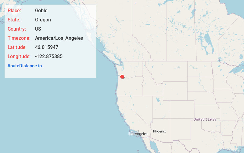
Full AddressGoble, OR 97048
-
Coordinates46.0159469, -122.8753853
-
LocationGoble , Oregon , US
-
TimezoneAmerica/Los_Angeles
-
Current Local Time3:58:20 AM America/Los_AngelesFriday, June 20, 2025
-
Page Views0
About Goble
Goble is an unincorporated community in Columbia County, Oregon, United States. It is located on U.S. Route 30 and the Columbia River.

Nearby Places
Found 10 places within 50 miles

Reuben
0.5 mi
0.8 km
Reuben, OR 97048
Get directions

Kalama
1.6 mi
2.6 km
Kalama, WA
Get directions

Prescott
2.4 mi
3.9 km
Prescott, OR 97048
Get directions
Carrolls
3.9 mi
6.3 km
Carrolls, WA 98626
Get directions

Rainier
5.8 mi
9.3 km
Rainier, OR 97048
Get directions

Deer Island
6.0 mi
9.7 km
Deer Island, OR 97054
Get directions

Longview
9.0 mi
14.5 km
Longview, WA
Get directions

Columbia City
9.0 mi
14.5 km
Columbia City, OR
Get directions

Kelso
9.2 mi
14.8 km
Kelso, WA
Get directions

Woodland
10.0 mi
16.1 km
Woodland, WA 98674
Get directions
Location Links
Local Weather
Weather Information
Coming soon!
Location Map
Static map view of Goble, Oregon
Browse Places by Distance
Places within specific distances from Goble
Short Distances
Long Distances
Click any distance to see all places within that range from Goble. Distances shown in miles (1 mile ≈ 1.61 kilometers).