Distance to Goblin Valley State Park, Utah

Calculating Your Route
Just a moment while we process your request...
Location Information
-
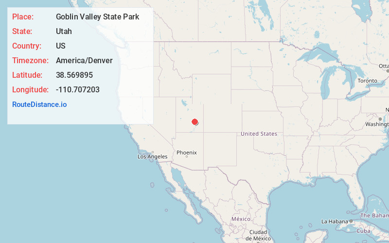
Full AddressGoblin Valley State Park, Utah 84525
-
Coordinates38.5698948, -110.7072027
-
LocationUtah , US
-
TimezoneAmerica/Denver
-
Current Local Time8:15:44 PM America/DenverThursday, June 19, 2025
-
Page Views0
About Goblin Valley State Park
Mushroomlike sandstone formations & eroded cliffs draw hikers & campers to this park with 3 trails.


Nearby Places
Found 10 places within 50 miles

Hanksville
13.6 mi
21.9 km
Hanksville, UT 84734
Get directions

Caineville
23.5 mi
37.8 km
Caineville, UT 84775
Get directions

Notom
32.2 mi
51.8 km
Notom, UT 84775
Get directions

Fruita
35.2 mi
56.6 km
Fruita, UT 84775
Get directions

Moore
36.4 mi
58.6 km
Moore, UT 84522
Get directions

Whipup
38.0 mi
61.2 km
Whipup, UT
Get directions

Emery
38.0 mi
61.2 km
Emery, UT 84522
Get directions

Capitol Reef National Park
40.6 mi
65.3 km
Capitol Reef National Park, Utah
Get directions
Molen
40.9 mi
65.8 km
Molen, UT 84516
Get directions

Desert
41.5 mi
66.8 km
Desert, UT 84525
Get directions
Location Links
Local Weather
Weather Information
Coming soon!
Location Map
Static map view of Goblin Valley State Park, Utah
Browse Places by Distance
Places within specific distances from Goblin Valley State Park
Short Distances
Long Distances
Click any distance to see all places within that range from Goblin Valley State Park. Distances shown in miles (1 mile ≈ 1.61 kilometers).