Distance to Moore, Utah

Calculating Your Route
Just a moment while we process your request...
Location Information
-
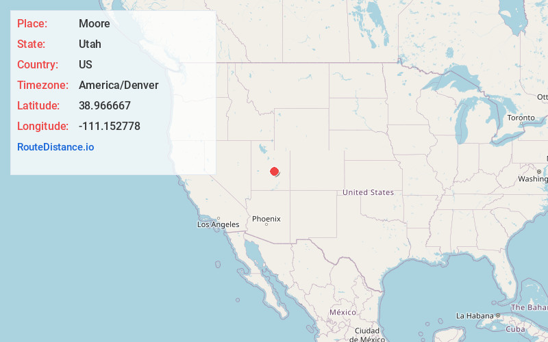
Full AddressMoore, UT 84522
-
Coordinates38.966667, -111.152778
-
LocationMoore , Utah , US
-
TimezoneAmerica/Denver
-
Current Local Time3:20:17 AM America/DenverWednesday, June 18, 2025
-
Page Views0
About Moore
Moore is an unincorporated community in west central Emery County, Utah, United States, at the edge of the San Rafael Swell.
Nearby Places
Found 10 places within 50 miles

Emery
6.0 mi
9.7 km
Emery, UT 84522
Get directions

Ferron
8.8 mi
14.2 km
Ferron, UT
Get directions

Clawson
11.9 mi
19.2 km
Clawson, UT 84516
Get directions

Castle Dale
18.4 mi
29.6 km
Castle Dale, UT
Get directions

Orangeville
18.8 mi
30.3 km
Orangeville, UT 84537
Get directions

Huntington
26.8 mi
43.1 km
Huntington, UT 84528
Get directions

Cleveland
30.9 mi
49.7 km
Cleveland, UT 84518
Get directions

Mayfield
31.6 mi
50.9 km
Mayfield, UT 84643
Get directions

Sterling
32.9 mi
52.9 km
Sterling, UT 84665
Get directions

Manti
33.3 mi
53.6 km
Manti, UT
Get directions
Location Links
Local Weather
Weather Information
Coming soon!
Location Map
Static map view of Moore, Utah
Browse Places by Distance
Places within specific distances from Moore
Short Distances
Long Distances
Click any distance to see all places within that range from Moore. Distances shown in miles (1 mile ≈ 1.61 kilometers).