Distance to Goldbond, Virginia

Calculating Your Route
Just a moment while we process your request...
Location Information
-
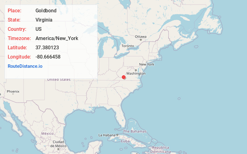
Full AddressGoldbond, VA 24150
-
Coordinates37.3801233, -80.6664575
-
LocationGoldbond , Virginia , US
-
TimezoneAmerica/New_York
-
Current Local Time3:49:18 AM America/New_YorkThursday, June 5, 2025
-
Page Views0
About Goldbond
Goldbond is an unincorporated community in Giles County, Virginia, United States.
Goldbond is located on Stony Creek and State Route 635, 5.3 miles northeast of Pearisburg.


Nearby Places
Found 10 places within 50 miles

Olean
0.8 mi
1.3 km
Olean, VA 24150
Get directions
Kimballton
1.1 mi
1.8 km
Kimballton, VA 24150
Get directions
Klotz
2.7 mi
4.3 km
Klotz, VA 24150
Get directions

Ripplemead
3.2 mi
5.1 km
Ripplemead, VA 24150
Get directions

Pembroke
4.4 mi
7.1 km
Pembroke, VA 24136
Get directions

Lindside
5.1 mi
8.2 km
Lindside, WV
Get directions

Pearisburg
5.3 mi
8.5 km
Pearisburg, VA 24134
Get directions

Mountain Lake Wilderness
6.4 mi
10.3 km
Mountain Lake Wilderness, Pembroke, VA 24136
Get directions
White Pine Lodge
6.4 mi
10.3 km
White Pine Lodge, VA 24136
Get directions

Eggleston
6.9 mi
11.1 km
Eggleston, VA
Get directions
Location Links
Local Weather
Weather Information
Coming soon!
Location Map
Static map view of Goldbond, Virginia
Browse Places by Distance
Places within specific distances from Goldbond
Short Distances
Long Distances
Click any distance to see all places within that range from Goldbond. Distances shown in miles (1 mile ≈ 1.61 kilometers).