Distance to Goobertown, Arkansas

Calculating Your Route
Just a moment while we process your request...
Location Information
-
Full AddressGoobertown, AR 72417
-
Coordinates35.9514606, -90.5756643
-
LocationArkansas , US
-
TimezoneAmerica/Chicago
-
Current Local Time12:04:43 AM America/ChicagoSunday, June 22, 2025
-
Page Views0
About Goobertown
Goobertown is an unincorporated community located in Craighead County, Arkansas, United States. Goobertown is located on U.S. Route 49, 10.4 miles northeast from Jonesboro.
Nearby Places
Found 10 places within 50 miles

Tunis
2.3 mi
3.7 km
Tunis, AR 72450
Get directions

Brookland
3.0 mi
4.8 km
Brookland, AR 72417
Get directions
Burnt Hill
6.1 mi
9.8 km
Burnt Hill, AR 72417
Get directions
Dixie
7.3 mi
11.7 km
Dixie, AR 72437
Get directions
Sterling Springs
7.3 mi
11.7 km
Sterling Springs, AR 72401
Get directions
Schug
7.5 mi
12.1 km
Schug, AR 72450
Get directions

Walcott
8.3 mi
13.4 km
Walcott, AR 72450
Get directions

Paragould
8.5 mi
13.7 km
Paragould, AR 72450
Get directions
Needham
9.2 mi
14.8 km
Needham, AR 72437
Get directions
Bowman
10.0 mi
16.1 km
Bowman, AR
Get directions
Location Links
Local Weather
Weather Information
Coming soon!
Location Map
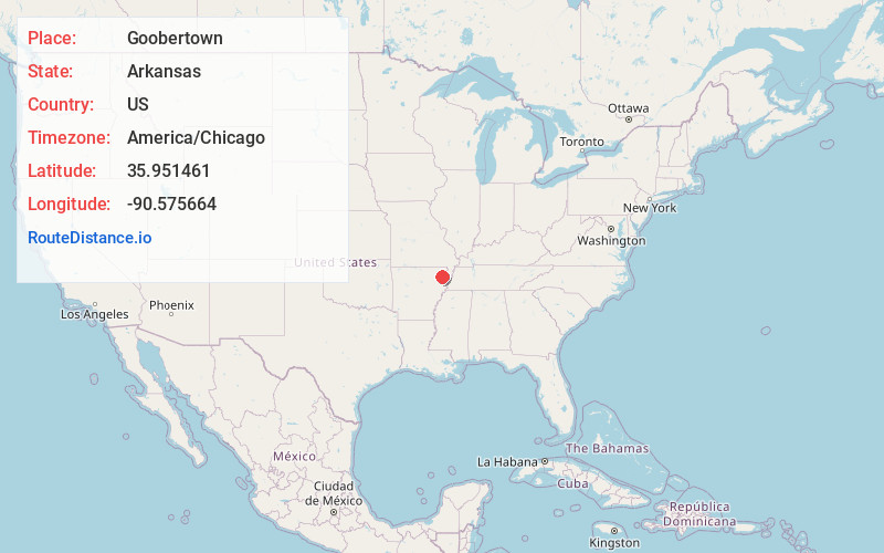
Static map view of Goobertown, Arkansas
Browse Places by Distance
Places within specific distances from Goobertown
Short Distances
Long Distances
Click any distance to see all places within that range from Goobertown. Distances shown in miles (1 mile ≈ 1.61 kilometers).