Distance to Gowensville, South Carolina

Calculating Your Route
Just a moment while we process your request...
Location Information
-
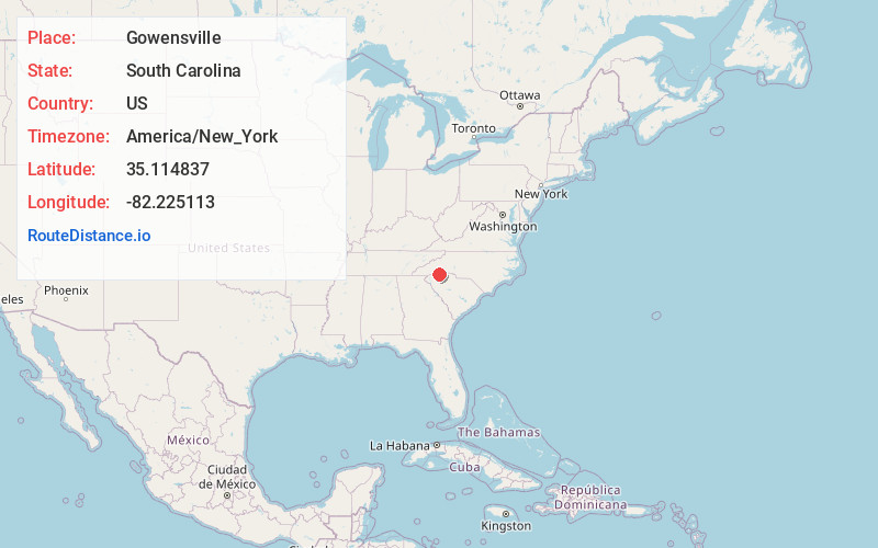
Full AddressGowensville, SC 29356
-
Coordinates35.114837, -82.2251131
-
LocationSouth Carolina , US
-
TimezoneAmerica/New_York
-
Current Local Time3:42:37 PM America/New_YorkWednesday, June 4, 2025
-
Page Views0


Nearby Places
Found 10 places within 50 miles

Ingleside
3.8 mi
6.1 km
Ingleside, Campobello, SC 29356
Get directions

Campobello
4.2 mi
6.8 km
Campobello, SC
Get directions

Landrum
4.6 mi
7.4 km
Landrum, SC 29356
Get directions

Lake Lanier
5.2 mi
8.4 km
Lake Lanier, SC 29356
Get directions

Gramling
5.9 mi
9.5 km
Gramling, SC
Get directions
Mascot
6.2 mi
10.0 km
Mascot, Gramling, SC 29349
Get directions

Tryon
6.5 mi
10.5 km
Tryon, NC 28782
Get directions
Holly Springs
8.1 mi
13.0 km
Holly Springs, SC 29365
Get directions

Inman Mills
8.5 mi
13.7 km
Inman Mills, SC 29349
Get directions
North Pacolet
8.7 mi
14.0 km
North Pacolet, SC 29322
Get directions
Location Links
Local Weather
Weather Information
Coming soon!
Location Map
Static map view of Gowensville, South Carolina
Browse Places by Distance
Places within specific distances from Gowensville
Short Distances
Long Distances
Click any distance to see all places within that range from Gowensville. Distances shown in miles (1 mile ≈ 1.61 kilometers).