Distance to Grady, Oklahoma

Calculating Your Route
Just a moment while we process your request...
Location Information
-
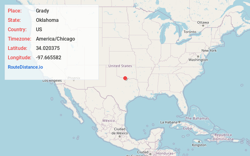
Full AddressGrady, OK 73569
-
Coordinates34.0203753, -97.6655824
-
LocationGrady , Oklahoma , US
-
TimezoneAmerica/Chicago
-
Current Local Time10:33:28 AM America/ChicagoFriday, June 20, 2025
-
Page Views0
About Grady
Grady is a small rural unincorporated community in southeastern Jefferson County, Oklahoma, United States, along State Highway 32, southeast of the county seat of Waurika. The post office opened June 16, 1890. The ZIP Code is 73569. Grady is said to have been named for Henry W. Grady.
Nearby Places
Found 10 places within 50 miles

Atlee
5.4 mi
8.7 km
Atlee, OK 73456
Get directions
Oscar
5.6 mi
9.0 km
Oscar, OK 73569
Get directions
Petersburg
7.1 mi
11.4 km
Petersburg, OK 73456
Get directions
Orr
7.5 mi
12.1 km
Orr, OK 73456
Get directions
Belleville
9.6 mi
15.4 km
Belleville, OK 73456
Get directions
Cornish
10.4 mi
16.7 km
Cornish, OK 73456
Get directions

Courtney
10.5 mi
16.9 km
Courtney, OK 73456
Get directions

Ringling
11.7 mi
18.8 km
Ringling, OK 73456
Get directions

Rubottom
13.2 mi
21.2 km
Rubottom, OK 73463
Get directions
Fleetwood
13.5 mi
21.7 km
Fleetwood, OK 73569
Get directions
Location Links
Local Weather
Weather Information
Coming soon!
Location Map
Static map view of Grady, Oklahoma
Browse Places by Distance
Places within specific distances from Grady
Short Distances
Long Distances
Click any distance to see all places within that range from Grady. Distances shown in miles (1 mile ≈ 1.61 kilometers).