Distance to Atlee, Oklahoma

Calculating Your Route
Just a moment while we process your request...
Location Information
-
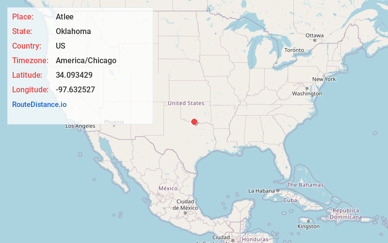
Full AddressAtlee, OK 73456
-
Coordinates34.0934289, -97.6325266
-
LocationAtlee , Oklahoma , US
-
TimezoneAmerica/Chicago
-
Current Local Time3:32:48 AM America/ChicagoSunday, June 22, 2025
-
Page Views0
About Atlee
Atlee is an unincorporated community in Jefferson County, Oklahoma, United States. Atlee is about 28 driving miles east-southeast of the county seat of Waurika. Atlee is south of US Route 70, north of Oklahoma State Highway 32, east of US Route 81, and west of Oklahoma State Highway 89.
Nearby Places
Found 10 places within 50 miles

Cornish
5.0 mi
8.0 km
Cornish, OK 73456
Get directions

Ringling
6.3 mi
10.1 km
Ringling, OK 73456
Get directions
Cottonwood Creek
11.6 mi
18.7 km
Cottonwood Creek, Oklahoma 73438
Get directions

Healdton
12.7 mi
20.4 km
Healdton, OK
Get directions
Wilson
12.7 mi
20.4 km
Wilson, OK 73463
Get directions

Loco
16.5 mi
26.6 km
Loco, OK 73442
Get directions

Leon
18.8 mi
30.3 km
Leon, OK
Get directions

Ryan
19.3 mi
31.1 km
Ryan, OK 73565
Get directions
Sugden
19.8 mi
31.9 km
Sugden, OK 73565
Get directions
Fox
20.3 mi
32.7 km
Fox, OK
Get directions
Location Links
Local Weather
Weather Information
Coming soon!
Location Map
Static map view of Atlee, Oklahoma
Browse Places by Distance
Places within specific distances from Atlee
Short Distances
Long Distances
Click any distance to see all places within that range from Atlee. Distances shown in miles (1 mile ≈ 1.61 kilometers).