Distance to Grafton, Ohio

Calculating Your Route
Just a moment while we process your request...
Location Information
-
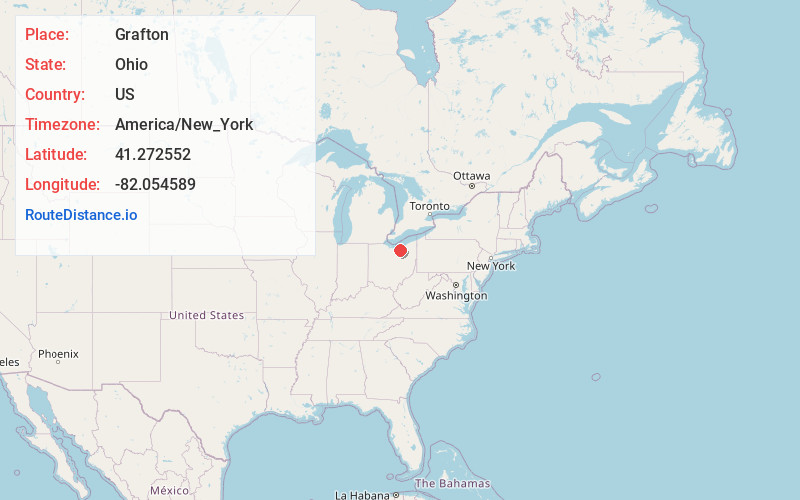
Full AddressGrafton, OH
-
Coordinates41.2725522, -82.0545892
-
LocationGrafton , Ohio , US
-
TimezoneAmerica/New_York
-
Current Local Time10:58:11 PM America/New_YorkWednesday, June 18, 2025
-
Page Views0
About Grafton
Grafton is a village in Lorain County, Ohio, United States, along the East Branch of the Black River. The population was 5,895 at the 2020 census. The Lorain Correctional Institution and several other prisons are located in and near Grafton.


Nearby Places
Found 10 places within 50 miles

Elyria
7.2 mi
11.6 km
Elyria, OH 44035
Get directions

North Ridgeville
8.3 mi
13.4 km
North Ridgeville, OH
Get directions

Oberlin
8.6 mi
13.8 km
Oberlin, OH 44074
Get directions

Olmsted Falls
10.4 mi
16.7 km
Olmsted Falls, OH 44138
Get directions

Brunswick
11.3 mi
18.2 km
Brunswick, OH
Get directions

Strongsville
11.7 mi
18.8 km
Strongsville, OH
Get directions

North Olmsted
12.0 mi
19.3 km
North Olmsted, OH
Get directions

Berea
12.2 mi
19.6 km
Berea, OH 44017
Get directions

Amherst
12.3 mi
19.8 km
Amherst, OH
Get directions

Avon
12.4 mi
20.0 km
Avon, OH 44011
Get directions
Location Links
Local Weather
Weather Information
Coming soon!
Location Map
Static map view of Grafton, Ohio
Browse Places by Distance
Places within specific distances from Grafton
Short Distances
Long Distances
Click any distance to see all places within that range from Grafton. Distances shown in miles (1 mile ≈ 1.61 kilometers).