Distance to Olmsted Falls, Ohio

Calculating Your Route
Just a moment while we process your request...
Location Information
-
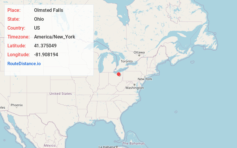
Full AddressOlmsted Falls, OH 44138
-
Coordinates41.375049, -81.9081937
-
LocationOlmsted Falls , Ohio , US
-
TimezoneAmerica/New_York
-
Current Local Time7:41:09 PM America/New_YorkThursday, June 19, 2025
-
Website
-
Page Views0
About Olmsted Falls
Olmsted Falls is a city in Cuyahoga County, Ohio, United States. The population was 8,582 at the 2020 census. A southwestern suburb of Cleveland, it is part of the Cleveland metropolitan area.


Nearby Places
Found 10 places within 50 miles

Berea
2.9 mi
4.7 km
Berea, OH 44017
Get directions

North Olmsted
2.9 mi
4.7 km
North Olmsted, OH
Get directions

Middleburg Heights
5.0 mi
8.0 km
Middleburg Heights, OH
Get directions

Fairview Park
5.1 mi
8.2 km
Fairview Park, OH
Get directions

Westlake
5.6 mi
9.0 km
Westlake, OH 44145
Get directions

Brook Park
5.6 mi
9.0 km
Brook Park, OH
Get directions

Strongsville
5.6 mi
9.0 km
Strongsville, OH
Get directions

North Ridgeville
5.8 mi
9.3 km
North Ridgeville, OH
Get directions

Bay Village
7.6 mi
12.2 km
Bay Village, OH 44140
Get directions

Rocky River
7.7 mi
12.4 km
Rocky River, OH 44116
Get directions
Location Links
Local Weather
Weather Information
Coming soon!
Location Map
Static map view of Olmsted Falls, Ohio
Browse Places by Distance
Places within specific distances from Olmsted Falls
Short Distances
Long Distances
Click any distance to see all places within that range from Olmsted Falls. Distances shown in miles (1 mile ≈ 1.61 kilometers).