Distance to Grafton, New Mexico

Calculating Your Route
Just a moment while we process your request...
Location Information
-
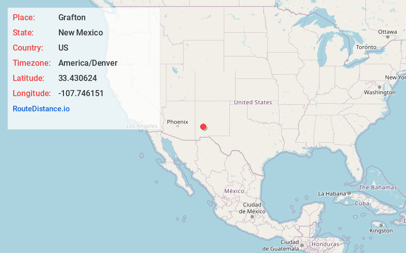
Full AddressGrafton, NM 87943
-
Coordinates33.4306241, -107.7461505
-
LocationNew Mexico , US
-
TimezoneAmerica/Denver
-
Current Local Time11:12:46 PM America/DenverWednesday, June 18, 2025
-
Page Views0
Nearby Places
Found 10 places within 50 miles

Chloride
7.5 mi
12.1 km
Chloride, NM 87943
Get directions

Winston
8.1 mi
13.0 km
Winston, NM 87943
Get directions

Monticello
17.2 mi
27.7 km
Monticello, NM 87939
Get directions

La Petra
18.7 mi
30.1 km
La Petra, NM 87939
Get directions
Cuchillo
26.0 mi
41.8 km
Cuchillo, NM 87901
Get directions

Williamsburg
34.0 mi
54.7 km
Williamsburg, NM
Get directions

Rock Canyon
34.1 mi
54.9 km
Rock Canyon, NM 87935
Get directions

Elephant Butte
34.8 mi
56.0 km
Elephant Butte, NM
Get directions
Hot Springs Landing
34.9 mi
56.2 km
Hot Springs Landing, NM 87935
Get directions

Truth or Consequences
35.3 mi
56.8 km
Truth or Consequences, NM
Get directions
Location Links
Local Weather
Weather Information
Coming soon!
Location Map
Static map view of Grafton, New Mexico
Browse Places by Distance
Places within specific distances from Grafton
Short Distances
Long Distances
Click any distance to see all places within that range from Grafton. Distances shown in miles (1 mile ≈ 1.61 kilometers).