Distance to Monticello, New Mexico

Calculating Your Route
Just a moment while we process your request...
Location Information
-
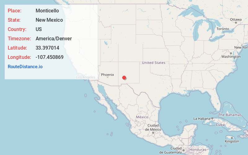
Full AddressMonticello, NM 87939
-
Coordinates33.3970138, -107.4508694
-
LocationMonticello , New Mexico , US
-
TimezoneAmerica/Denver
-
Current Local Time1:26:51 AM America/DenverThursday, June 19, 2025
-
Page Views0
About Monticello
Monticello is an unincorporated community located in Sierra County, New Mexico, United States. Monticello is located on Alamosa Creek, 22 miles northwest of Truth or Consequences. Monticello has a post office with ZIP code 87939.


Nearby Places
Found 10 places within 50 miles

Winston
11.9 mi
19.2 km
Winston, NM 87943
Get directions

Hot Springs Landing
19.5 mi
31.4 km
Hot Springs Landing, NM 87935
Get directions

Elephant Butte
20.0 mi
32.2 km
Elephant Butte, NM
Get directions

Williamsburg
21.4 mi
34.4 km
Williamsburg, NM
Get directions

Truth or Consequences
21.8 mi
35.1 km
Truth or Consequences, NM
Get directions

Las Palomas
24.7 mi
39.8 km
Las Palomas, NM 87942
Get directions

Caballo
30.3 mi
48.8 km
Caballo, NM 87931
Get directions

Hillsboro
33.6 mi
54.1 km
Hillsboro, NM 88042
Get directions

Kingston
36.3 mi
58.4 km
Kingston, NM 88042
Get directions

Garfield
45.5 mi
73.2 km
Garfield, NM 87936
Get directions
Location Links
Local Weather
Weather Information
Coming soon!
Location Map
Static map view of Monticello, New Mexico
Browse Places by Distance
Places within specific distances from Monticello
Short Distances
Long Distances
Click any distance to see all places within that range from Monticello. Distances shown in miles (1 mile ≈ 1.61 kilometers).