Distance to Garfield, New Mexico

Calculating Your Route
Just a moment while we process your request...
Location Information
-
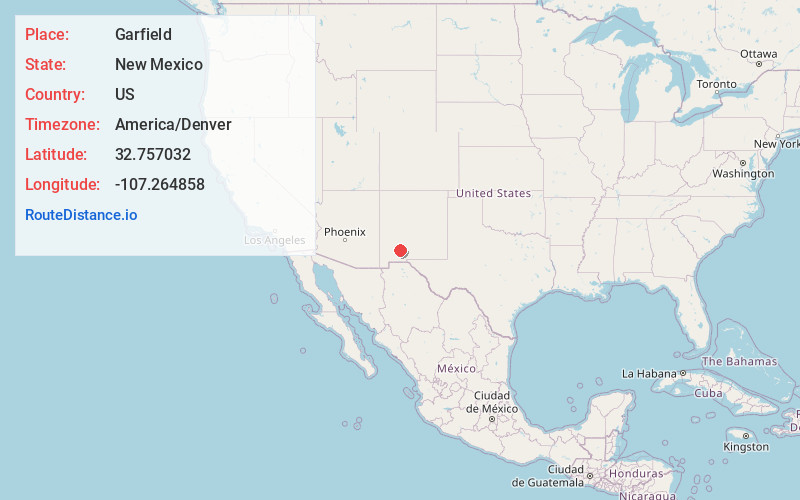
Full AddressGarfield, NM 87936
-
Coordinates32.7570318, -107.264858
-
LocationGarfield , New Mexico , US
-
TimezoneAmerica/Denver
-
Current Local Time1:50:20 AM America/DenverWednesday, June 18, 2025
-
Page Views0
About Garfield
Garfield is a census-designated place in Doña Ana County, New Mexico, United States. Its population was 137 at the time of the 2010 census. Garfield has a post office with ZIP code 87936, which opened on September 19, 1896. The community is located on New Mexico State Road 187 south of Exit 51 of Interstate 25.

Nearby Places
Found 10 places within 50 miles

Lake Valley
17.8 mi
28.6 km
Lake Valley, NM 88042
Get directions

Hillsboro
20.9 mi
33.6 km
Hillsboro, NM 88042
Get directions

Las Palomas
21.2 mi
34.1 km
Las Palomas, NM 87942
Get directions
Cedar Hills
23.6 mi
38.0 km
Cedar Hills, New Mexico 88007
Get directions

Williamsburg
24.9 mi
40.1 km
Williamsburg, NM
Get directions

Truth or Consequences
25.7 mi
41.4 km
Truth or Consequences, NM
Get directions

Radium Springs
27.5 mi
44.3 km
Radium Springs, NM 88007
Get directions

Kingston
27.9 mi
44.9 km
Kingston, NM 88042
Get directions

Elephant Butte
29.1 mi
46.8 km
Elephant Butte, NM
Get directions

San Lorenzo
38.2 mi
61.5 km
San Lorenzo, NM 88041
Get directions
Location Links
Local Weather
Weather Information
Coming soon!
Location Map
Static map view of Garfield, New Mexico
Browse Places by Distance
Places within specific distances from Garfield
Short Distances
Long Distances
Click any distance to see all places within that range from Garfield. Distances shown in miles (1 mile ≈ 1.61 kilometers).