Distance to Hillsboro, New Mexico

Calculating Your Route
Just a moment while we process your request...
Location Information
-
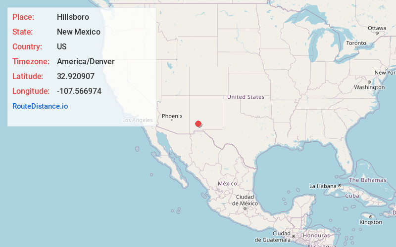
Full AddressHillsboro, NM 88042
-
Coordinates32.9209072, -107.566974
-
LocationHillsboro , New Mexico , US
-
TimezoneAmerica/Denver
-
Current Local Time4:34:32 AM America/DenverWednesday, May 28, 2025
-
Page Views0
About Hillsboro
Hillsboro is an unincorporated community in Sierra County, New Mexico, United States, located in the southwestern part of the state. It was founded in 1877, following the discovery of gold. The community was the county seat of Sierra County from 1884 until 1936, when Hot Springs became the county seat.


Nearby Places
Found 10 places within 50 miles

Las Palomas
18.4 mi
29.6 km
Las Palomas, NM 87942
Get directions

Williamsburg
20.8 mi
33.5 km
Williamsburg, NM
Get directions

San Lorenzo
21.9 mi
35.2 km
San Lorenzo, NM 88041
Get directions

Truth or Consequences
23.2 mi
37.3 km
Truth or Consequences, NM
Get directions

Mimbres
24.4 mi
39.3 km
Mimbres, NM
Get directions

Elephant Butte
26.6 mi
42.8 km
Elephant Butte, NM
Get directions

Hanover
31.3 mi
50.4 km
Hanover, NM 88041
Get directions

Santa Clara
35.4 mi
57.0 km
Santa Clara, NM
Get directions

Pinos Altos
38.2 mi
61.5 km
Pinos Altos, NM
Get directions

Arenas Valley
38.4 mi
61.8 km
Arenas Valley, NM
Get directions
Location Links
Local Weather
Weather Information
Coming soon!
Location Map
Static map view of Hillsboro, New Mexico
Browse Places by Distance
Places within specific distances from Hillsboro
Short Distances
Long Distances
Click any distance to see all places within that range from Hillsboro. Distances shown in miles (1 mile ≈ 1.61 kilometers).