Distance to Caballo, New Mexico

Calculating Your Route
Just a moment while we process your request...
Location Information
-
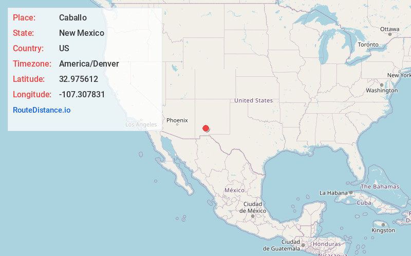
Full AddressCaballo, NM 87931
-
Coordinates32.975612, -107.3078306
-
LocationCaballo , New Mexico , US
-
TimezoneAmerica/Denver
-
Current Local Time8:17:04 PM America/DenverFriday, June 20, 2025
-
Page Views0
About Caballo
Caballo is a census-designated place in Sierra County, New Mexico, United States. Its population was 112 as of the 2010 census. Caballo has a post office with ZIP code 87931. The community is located along New Mexico State Road 187, north and south of Exit 63 on Interstate 25.


Nearby Places
Found 10 places within 50 miles

Las Palomas
6.0 mi
9.7 km
Las Palomas, NM 87942
Get directions

Williamsburg
9.7 mi
15.6 km
Williamsburg, NM
Get directions

Truth or Consequences
11.0 mi
17.7 km
Truth or Consequences, NM
Get directions

Elephant Butte
14.7 mi
23.7 km
Elephant Butte, NM
Get directions

Garfield
15.3 mi
24.6 km
Garfield, NM 87936
Get directions

Hillsboro
15.5 mi
24.9 km
Hillsboro, NM 88042
Get directions

Lake Valley
23.3 mi
37.5 km
Lake Valley, NM 88042
Get directions

Kingston
23.4 mi
37.7 km
Kingston, NM 88042
Get directions

San Lorenzo
37.3 mi
60.0 km
San Lorenzo, NM 88041
Get directions
Cedar Hills
37.7 mi
60.7 km
Cedar Hills, New Mexico 88007
Get directions
Location Links
Local Weather
Weather Information
Coming soon!
Location Map
Static map view of Caballo, New Mexico
Browse Places by Distance
Places within specific distances from Caballo
Short Distances
Long Distances
Click any distance to see all places within that range from Caballo. Distances shown in miles (1 mile ≈ 1.61 kilometers).