Distance to Grangeburg, Alabama

Calculating Your Route
Just a moment while we process your request...
Location Information
-
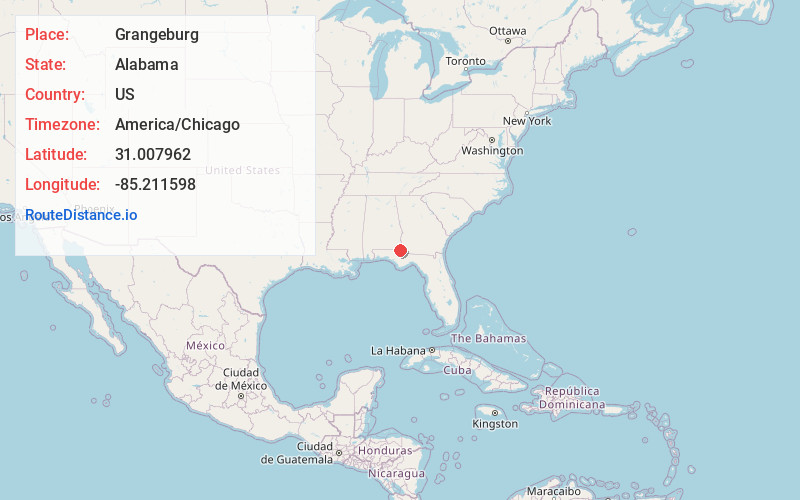
Full AddressGrangeburg, AL 36343
-
Coordinates31.0079621, -85.2115984
-
LocationGrangeburg , Alabama , US
-
TimezoneAmerica/Chicago
-
Current Local Time9:16:25 PM America/ChicagoFriday, June 20, 2025
-
Page Views0
About Grangeburg
Grangeburg, also known as Granger or Grangerburg, is an unincorporated community in Houston County, Alabama, United States. Grangeburg is located along Alabama State Route 53, 6.2 miles east-southeast of Cottonwood.


Nearby Places
Found 10 places within 50 miles

Malone
4.5 mi
7.2 km
Malone, FL 32445
Get directions
Cottonwood
6.2 mi
10.0 km
Cottonwood, AL
Get directions
Bascom
7.8 mi
12.6 km
Bascom, FL 32423
Get directions
Love Hill
8.3 mi
13.4 km
Love Hill, AL 36312
Get directions

Greenwood
10.0 mi
16.1 km
Greenwood, FL 32443
Get directions
Hodgesville
10.9 mi
17.5 km
Hodgesville, AL 36301
Get directions
Madrid
10.9 mi
17.5 km
Madrid, AL
Get directions
Gordon
11.5 mi
18.5 km
Gordon, AL 36343
Get directions
Campbellton
12.0 mi
19.3 km
Campbellton, FL
Get directions

Ashford
12.2 mi
19.6 km
Ashford, AL 36312
Get directions
Location Links
Local Weather
Weather Information
Coming soon!
Location Map
Static map view of Grangeburg, Alabama
Browse Places by Distance
Places within specific distances from Grangeburg
Short Distances
Long Distances
Click any distance to see all places within that range from Grangeburg. Distances shown in miles (1 mile ≈ 1.61 kilometers).