Distance to Campbellton, Florida

Calculating Your Route
Just a moment while we process your request...
Location Information
-
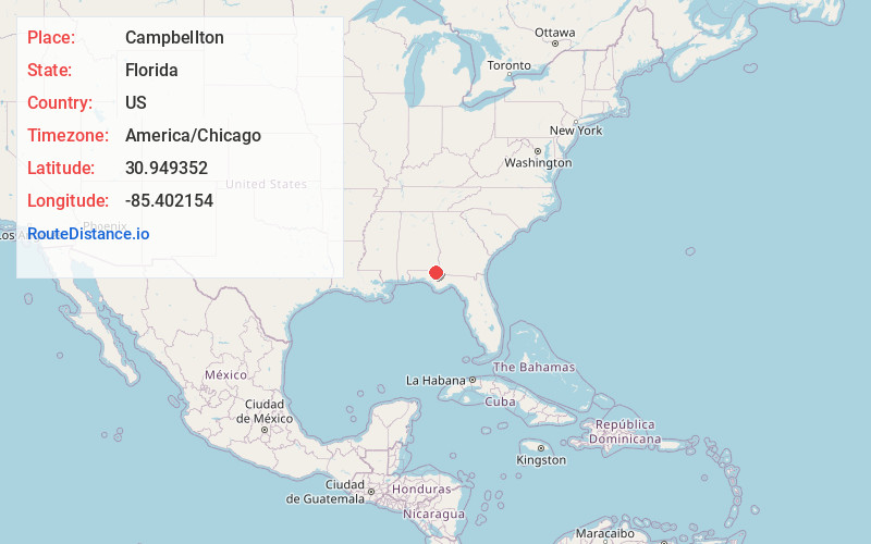
Full AddressCampbellton, FL
-
Coordinates30.9493516, -85.4021544
-
LocationCampbellton , Florida , US
-
TimezoneAmerica/Chicago
-
Current Local Time11:05:05 PM America/ChicagoTuesday, June 17, 2025
-
Page Views0
About Campbellton
Campbellton is a town in Jackson County, Florida, United States. The town is part of the Florida Panhandle in North Florida, and has a predominately African American majority. The population was 191 at the 2020 census.
Nearby Places
Found 10 places within 50 miles

Madrid
6.0 mi
9.7 km
Madrid, AL
Get directions

Graceville
6.8 mi
10.9 km
Graceville, FL 32440
Get directions
Cottonwood
9.0 mi
14.5 km
Cottonwood, AL
Get directions

Cottondale
10.6 mi
17.1 km
Cottondale, FL
Get directions
Rehobeth
12.4 mi
20.0 km
Rehobeth, AL 36301
Get directions
Noma
13.0 mi
20.9 km
Noma, FL 32425
Get directions

Chipley
14.1 mi
22.7 km
Chipley, FL 32428
Get directions
Malone
14.2 mi
22.9 km
Malone, FL 32445
Get directions

Esto
14.7 mi
23.7 km
Esto, FL 32425
Get directions
Malvern
14.8 mi
23.8 km
Malvern, AL
Get directions
Location Links
Local Weather
Weather Information
Coming soon!
Location Map
Static map view of Campbellton, Florida
Browse Places by Distance
Places within specific distances from Campbellton
Short Distances
Long Distances
Click any distance to see all places within that range from Campbellton. Distances shown in miles (1 mile ≈ 1.61 kilometers).