Distance to Granite Falls, North Carolina

Calculating Your Route
Just a moment while we process your request...
Location Information
-
Full AddressGranite Falls, NC
-
Coordinates35.7965205, -81.4306457
-
LocationGranite Falls , North Carolina , US
-
TimezoneAmerica/New_York
-
Current Local Time6:30:41 AM America/New_YorkWednesday, June 18, 2025
-
Website
-
Page Views0
About Granite Falls
Granite Falls is a town in Caldwell County, North Carolina, United States. The population was 4,722 at the 2010 census. It is part of the Hickory–Lenoir–Morganton Metropolitan Statistical Area.

Nearby Places
Found 10 places within 50 miles

Long View
5.3 mi
8.5 km
Long View, NC
Get directions

Hickory
6.5 mi
10.5 km
Hickory, NC
Get directions

Lenoir
10.1 mi
16.3 km
Lenoir, NC
Get directions

St Stephens
10.7 mi
17.2 km
St Stephens, NC
Get directions

Conover
13.4 mi
21.6 km
Conover, NC
Get directions

Newton
14.6 mi
23.5 km
Newton, NC
Get directions

Morganton
14.7 mi
23.7 km
Morganton, NC 28655
Get directions

Lincolnton
24.4 mi
39.3 km
Lincolnton, NC 28092
Get directions

Cherryville
29.0 mi
46.7 km
Cherryville, NC 28021
Get directions

Lake Norman of Catawba
30.1 mi
48.4 km
Lake Norman of Catawba, NC
Get directions
Location Links
Local Weather
Weather Information
Coming soon!
Location Map
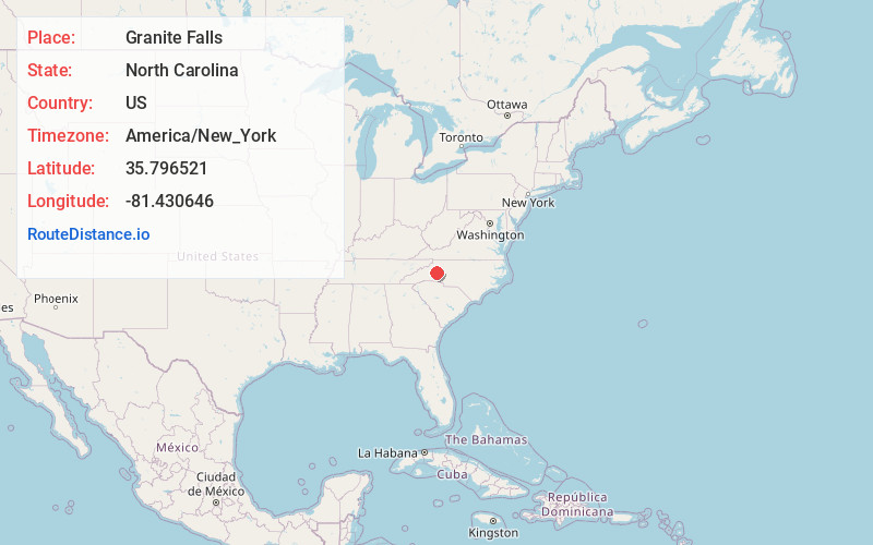
Static map view of Granite Falls, North Carolina
Browse Places by Distance
Places within specific distances from Granite Falls
Short Distances
Long Distances
Click any distance to see all places within that range from Granite Falls. Distances shown in miles (1 mile ≈ 1.61 kilometers).