Distance to Grapevine, Arkansas

Calculating Your Route
Just a moment while we process your request...
Location Information
-
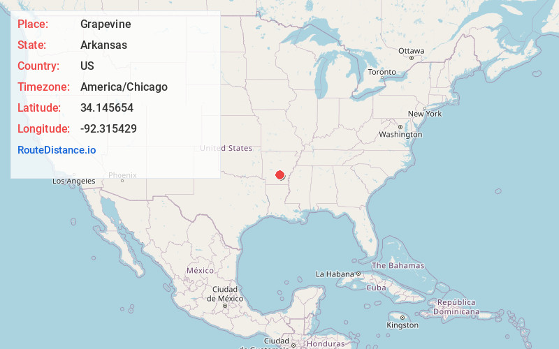
Full AddressGrapevine, AR 72057
-
Coordinates34.1456542, -92.3154285
-
LocationGrapevine , Arkansas , US
-
TimezoneAmerica/Chicago
-
Current Local Time1:34:49 PM America/ChicagoFriday, June 13, 2025
-
Page Views0
About Grapevine
Grapevine is an unincorporated community in Grant County, Arkansas, United States. Grapevine is located on Arkansas Highway 35, 12 miles south-southeast of Sheridan. Grapevine has a post office with ZIP code 72057. Grapevine is home to the famous R&C hunting club.
It is served by the Sheridan School District.
Nearby Places
Found 10 places within 50 miles

Staves
7.7 mi
12.4 km
Staves, AR 71665
Get directions
Center Grove
12.0 mi
19.3 km
Center Grove, AR 72150
Get directions

Sheridan
12.1 mi
19.5 km
Sheridan, AR 72150
Get directions
Cooney
12.4 mi
20.0 km
Cooney, AR 71725
Get directions
Hardin
13.3 mi
21.4 km
Hardin, AR 71602
Get directions
Bunn
14.3 mi
23.0 km
Bunn, AR 71652
Get directions
Carthage
14.5 mi
23.3 km
Carthage, AR 71725
Get directions
Rison
14.8 mi
23.8 km
Rison, AR 71665
Get directions
Henslee Heights
15.5 mi
24.9 km
Henslee Heights, White Hall, AR 71602
Get directions

White Hall
15.6 mi
25.1 km
White Hall, AR 71602
Get directions
Location Links
Local Weather
Weather Information
Coming soon!
Location Map
Static map view of Grapevine, Arkansas
Browse Places by Distance
Places within specific distances from Grapevine
Short Distances
Long Distances
Click any distance to see all places within that range from Grapevine. Distances shown in miles (1 mile ≈ 1.61 kilometers).