Distance to Grassy Butte, North Dakota

Calculating Your Route
Just a moment while we process your request...
Location Information
-
Full AddressGrassy Butte, ND 58634
-
Coordinates47.3925145, -103.2479655
-
LocationGrassy Butte , North Dakota , US
-
TimezoneAmerica/Denver
-
Current Local Time7:41:26 AM America/DenverWednesday, June 18, 2025
-
Page Views0
About Grassy Butte
Grassy Butte is an unincorporated community in southeastern McKenzie County, North Dakota, United States. It lies along U.S. Route 85, south of the city of Watford City, the county seat of McKenzie County.
Grassy Butte currently has a gas station/convenience store and a bar.


Nearby Places
Found 10 places within 50 miles

Medicine Hole
17.1 mi
27.5 km
Medicine Hole, ND 58640
Get directions
Oakdale
18.7 mi
30.1 km
Oakdale, ND 58640
Get directions

Manning
25.0 mi
40.2 km
Manning, ND 58642
Get directions
Schafer
28.3 mi
45.5 km
Schafer, ND 58854
Get directions

Watford City
28.4 mi
45.7 km
Watford City, ND 58854
Get directions
Croff
28.4 mi
45.7 km
Croff, ND 58854
Get directions
Dunn Center
29.5 mi
47.5 km
Dunn Center, ND 58626
Get directions

Arnegard
30.1 mi
48.4 km
Arnegard, ND 58835
Get directions

Trotters
31.7 mi
51.0 km
Trotters, ND 58621
Get directions
New Hradec
32.1 mi
51.7 km
New Hradec, ND 58601
Get directions
Location Links
Local Weather
Weather Information
Coming soon!
Location Map
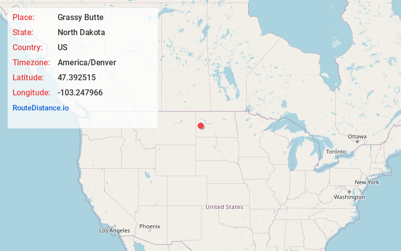
Static map view of Grassy Butte, North Dakota
Browse Places by Distance
Places within specific distances from Grassy Butte
Short Distances
Long Distances
Click any distance to see all places within that range from Grassy Butte. Distances shown in miles (1 mile ≈ 1.61 kilometers).