Distance to Gravel Switch, Kentucky

Calculating Your Route
Just a moment while we process your request...
Location Information
-
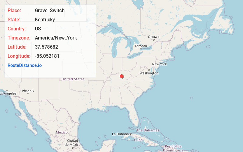
Full AddressGravel Switch, KY 40328
-
Coordinates37.5786819, -85.052181
-
LocationGravel Switch , Kentucky , US
-
TimezoneAmerica/New_York
-
Current Local Time2:19:16 PM America/New_YorkWednesday, May 28, 2025
-
Page Views0
About Gravel Switch
Gravel Switch is an unincorporated community within Marion County, Kentucky, United States. It is located along Kentucky Route 243, just south of its intersection with U.S. Route 68, southwest of Perryville and northeast of Bradfordsville.
Nearby Places
Found 10 places within 50 miles

Riley
2.9 mi
4.7 km
Riley, KY 40328
Get directions
Brumfield
4.2 mi
6.8 km
Brumfield, KY 40468
Get directions
Penick
5.4 mi
8.7 km
Penick, KY 40033
Get directions

Perryville
7.4 mi
11.9 km
Perryville, KY 40468
Get directions
Simstown
7.9 mi
12.7 km
Simstown, KY 40069
Get directions
Bradfordsville
7.9 mi
12.7 km
Bradfordsville, KY 40009
Get directions
Dixville
10.5 mi
16.9 km
Dixville, KY 40330
Get directions
Mackville
11.0 mi
17.7 km
Mackville, KY
Get directions

Lebanon
11.0 mi
17.7 km
Lebanon, KY 40033
Get directions

Springfield
11.9 mi
19.2 km
Springfield, KY
Get directions
Location Links
Local Weather
Weather Information
Coming soon!
Location Map
Static map view of Gravel Switch, Kentucky
Browse Places by Distance
Places within specific distances from Gravel Switch
Short Distances
Long Distances
Click any distance to see all places within that range from Gravel Switch. Distances shown in miles (1 mile ≈ 1.61 kilometers).