Distance to Graysontown, Virginia

Calculating Your Route
Just a moment while we process your request...
Location Information
-
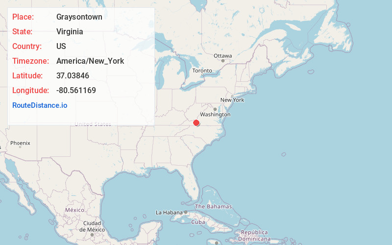
Full AddressGraysontown, VA 24141
-
Coordinates37.0384595, -80.5611687
-
LocationVirginia , US
-
TimezoneAmerica/New_York
-
Current Local Time3:41:55 PM America/New_YorkWednesday, June 18, 2025
-
Page Views0
About Graysontown
Graysontown is an unincorporated community in Montgomery County, Virginia, United States. Graysontown is located on the Little River, 6.5 miles south of Radford.
Nearby Places
Found 10 places within 50 miles

Little Montgomery
1.3 mi
2.1 km
Little Montgomery, VA 24347
Get directions
Simpkinstown
1.8 mi
2.9 km
Simpkinstown, VA 24347
Get directions
Childress
3.4 mi
5.5 km
Childress, VA 24073
Get directions
Mountain View
4.7 mi
7.6 km
Mountain View, VA 24084
Get directions

Radford
6.5 mi
10.5 km
Radford, VA
Get directions
Plum Creek
6.8 mi
10.9 km
Plum Creek, VA
Get directions

Riner
6.9 mi
11.1 km
Riner, VA 24149
Get directions

New River
7.0 mi
11.3 km
New River, VA 24141
Get directions
Newbern
7.5 mi
12.1 km
Newbern, VA 24084
Get directions

Fairlawn
7.7 mi
12.4 km
Fairlawn, VA 24141
Get directions
Location Links
Local Weather
Weather Information
Coming soon!
Location Map
Static map view of Graysontown, Virginia
Browse Places by Distance
Places within specific distances from Graysontown
Short Distances
Long Distances
Click any distance to see all places within that range from Graysontown. Distances shown in miles (1 mile ≈ 1.61 kilometers).