Distance to Greater Northdale, Florida

Calculating Your Route
Just a moment while we process your request...
Location Information
-
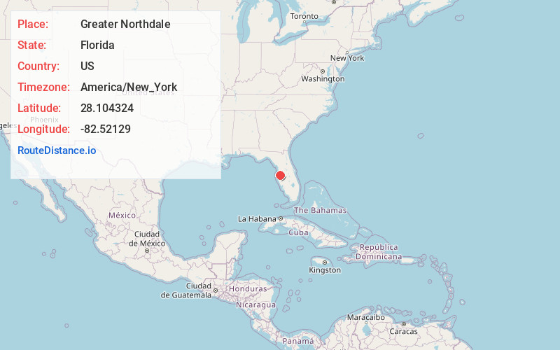
Full AddressGreater Northdale, FL
-
Coordinates28.1043241, -82.5212896
-
LocationGreater Northdale , Florida , US
-
TimezoneAmerica/New_York
-
Current Local Time1:56:21 AM America/New_YorkWednesday, June 18, 2025
-
Page Views0
About Greater Northdale
Northdale is an unincorporated census-designated place in Hillsborough County, Florida, United States. Northdale was named by the combination of the words in North Dale Mabry, the main highway through the Northdale area. The population was 22,079 at the 2010 census.


Nearby Places
Found 10 places within 50 miles

Citrus Park
3.5 mi
5.6 km
Citrus Park, FL
Get directions

Greater Carrollwood
3.5 mi
5.6 km
Greater Carrollwood, FL
Get directions

Lake Magdalene
3.7 mi
6.0 km
Lake Magdalene, FL
Get directions

Egypt Lake-Leto
6.2 mi
10.0 km
Egypt Lake-Leto, FL 33614
Get directions

Town 'N' Country
7.3 mi
11.7 km
Town 'N' Country, FL
Get directions

Land O' Lakes
8.8 mi
14.2 km
Land O' Lakes, FL
Get directions

East Lake
10.6 mi
17.1 km
East Lake, FL
Get directions

Tampa
11.2 mi
18.0 km
Tampa, FL
Get directions

Wesley Chapel
15.1 mi
24.3 km
Wesley Chapel, FL
Get directions

Dunedin
17.3 mi
27.8 km
Dunedin, FL
Get directions
Location Links
Local Weather
Weather Information
Coming soon!
Location Map
Static map view of Greater Northdale, Florida
Browse Places by Distance
Places within specific distances from Greater Northdale
Short Distances
Long Distances
Click any distance to see all places within that range from Greater Northdale. Distances shown in miles (1 mile ≈ 1.61 kilometers).