Distance to Green Meadows, Oregon

Calculating Your Route
Just a moment while we process your request...
Location Information
-
Full AddressGreen Meadows, OR 97801
-
Coordinates45.6165191, -118.7997075
-
LocationGreen Meadows , Oregon , US
-
TimezoneAmerica/Los_Angeles
-
Current Local Time12:47:24 PM America/Los_AngelesFriday, June 20, 2025
-
Page Views0
About Green Meadows
Green Meadows is an unincorporated community and census-designated place in Umatilla County, Oregon, United States. It was first listed as a CDP following the 2010 census.
The CDP is in central Umatilla County along U.S. Route 395, 5 miles south of Pendleton, the county seat.
Nearby Places
Found 10 places within 50 miles

Pendleton
3.9 mi
6.3 km
Pendleton, OR 97801
Get directions

Mission
6.6 mi
10.6 km
Mission, OR 97801
Get directions

Pilot Rock
9.3 mi
15.0 km
Pilot Rock, OR
Get directions

Athena
20.1 mi
32.3 km
Athena, OR 97813
Get directions

Stanfield
23.1 mi
37.2 km
Stanfield, OR
Get directions

Hermiston
28.2 mi
45.4 km
Hermiston, OR
Get directions

Umapine
28.9 mi
46.5 km
Umapine, OR 97862
Get directions

Milton-Freewater
29.5 mi
47.5 km
Milton-Freewater, OR 97862
Get directions

Umatilla
33.4 mi
53.8 km
Umatilla, OR
Get directions

College Place
35.9 mi
57.8 km
College Place, WA
Get directions
Location Links
Local Weather
Weather Information
Coming soon!
Location Map
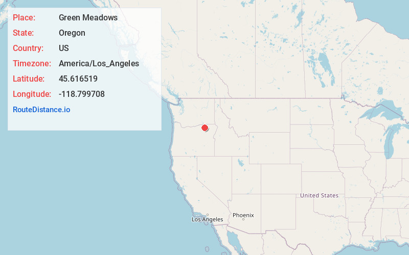
Static map view of Green Meadows, Oregon
Browse Places by Distance
Places within specific distances from Green Meadows
Short Distances
Long Distances
Click any distance to see all places within that range from Green Meadows. Distances shown in miles (1 mile ≈ 1.61 kilometers).