Distance to Umapine, Oregon

Calculating Your Route
Just a moment while we process your request...
Location Information
-
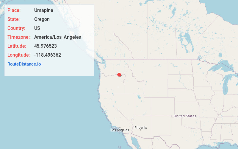
Full AddressUmapine, OR 97862
-
Coordinates45.9765234, -118.496362
-
LocationUmapine , Oregon , US
-
TimezoneAmerica/Los_Angeles
-
Current Local Time11:11:11 AM America/Los_AngelesWednesday, June 18, 2025
-
Page Views0
About Umapine
Umapine is a census-designated place and unincorporated community in Umatilla County, Oregon, United States, two miles from the Oregon-Washington border. The traditional boundary covers a wide area. It has a population of 315 people as of 2010.


Nearby Places
Found 10 places within 50 miles

Milton-Freewater
6.0 mi
9.7 km
Milton-Freewater, OR 97862
Get directions

College Place
7.2 mi
11.6 km
College Place, WA
Get directions

Garrett
7.8 mi
12.6 km
Garrett, WA 99362
Get directions

Walla Walla
9.5 mi
15.3 km
Walla Walla, WA 99362
Get directions

Athena
11.4 mi
18.3 km
Athena, OR 97813
Get directions

Mission
23.2 mi
37.3 km
Mission, OR 97801
Get directions

Pendleton
25.3 mi
40.7 km
Pendleton, OR 97801
Get directions

Waitsburg
26.1 mi
42.0 km
Waitsburg, WA 99361
Get directions

Finley
28.5 mi
45.9 km
Finley, WA 99337
Get directions

Burbank
29.2 mi
47.0 km
Burbank, WA 99323
Get directions
Location Links
Local Weather
Weather Information
Coming soon!
Location Map
Static map view of Umapine, Oregon
Browse Places by Distance
Places within specific distances from Umapine
Short Distances
Long Distances
Click any distance to see all places within that range from Umapine. Distances shown in miles (1 mile ≈ 1.61 kilometers).