Distance to Green Valley Mine Pond, Indiana

Calculating Your Route
Just a moment while we process your request...
Location Information
-
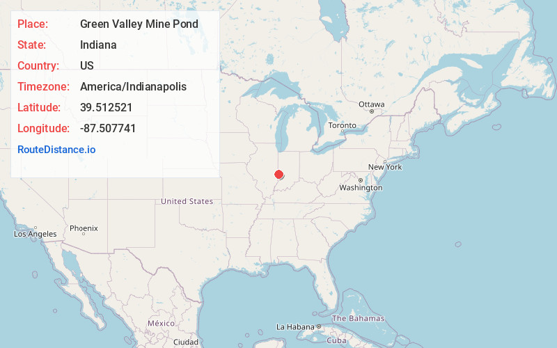
Full AddressGreen Valley Mine Pond, Sugar Creek Township, IN 47885
-
Coordinates39.5125206, -87.5077408
-
LocationSugar Creek Township , Indiana , US
-
TimezoneAmerica/Indianapolis
-
Page Views0


Nearby Places
Found 10 places within 50 miles

St Mary-Of-The-Woods
2.2 mi
3.5 km
St Mary-Of-The-Woods, IN
Get directions

Liggett
2.6 mi
4.2 km
Liggett, IN 47885
Get directions
Whitcomb Heights
3.3 mi
5.3 km
Whitcomb Heights, IN 47885
Get directions
Ferguson Hill
3.5 mi
5.6 km
Ferguson Hill, IN 47885
Get directions

Marion Heights
3.5 mi
5.6 km
Marion Heights, IN 47885
Get directions
Barnhart Town
3.9 mi
6.3 km
Barnhart Town, IN 47885
Get directions
Ferrel
4.3 mi
6.9 km
Ferrel, Elbridge Township, IL 61944
Get directions
Larimer Hill
4.4 mi
7.1 km
Larimer Hill, IN 47885
Get directions
Toad Hop
4.4 mi
7.1 km
Toad Hop, IN 47885
Get directions
Pine Ridge
4.7 mi
7.6 km
Pine Ridge, IN 47885
Get directions
Location Links
Local Weather
Weather Information
Coming soon!
Location Map
Static map view of Green Valley Mine Pond, Indiana
Browse Places by Distance
Places within specific distances from Green Valley Mine Pond
Short Distances
Long Distances
Click any distance to see all places within that range from Green Valley Mine Pond. Distances shown in miles (1 mile ≈ 1.61 kilometers).